What is recorded here
Fairy fort / earthen ringfort in Killala is a fairy fort or earthen ringfort in Killala, County Sligo, Ireland. The easternmost of two adjoining raths sits in rough grazing on a ridge, with fosses about four metres apart. A slightly raised circular area measures thirty-eight metres north east to south west and is defined by a scarp rising ninety centimetres, though a field boundary truncates its north east to south east edge. An external fosse two and a half metres wide and sixty centimetres deep appears west south west to west north west where the two raths join in dense growth.
In rough grazing, on top of a ridge. The easternmost of two adjoining raths (see SL027-022----), the fosses of which are c. 4m apart. A slightly raised circular area (38m NE-SW) defined by a scarp (H 0.9m), but truncated NE-SE by a field boundary. An external fosse (Wth 2.5m; D 0.6m) is evident WSW-WNW, at the densely overgrown junction of the two raths.
The above description is derived from the published 'Archaeological Inventory of County Sligo' compiled by Ursula Egan, Elizabeth Byrne, Mary Sleeman with Sheila Ronan and Connie Murphy (Dublin Stationery Office, 2005).
Date of upload: 18 January 2008
The monument record does not grant public access. Check the route and ask the landowner before entering private land.
- What survives
- Recorded monument
Places near here
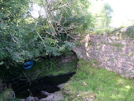 Lurgan Bridgebridge · 691 yd
 Hut site in ArdleebegHut site · 874 yd
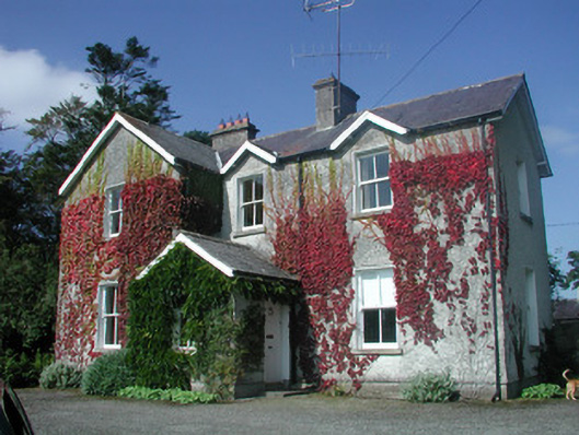 The Old Rectoryrectory/glebe/vicarage/curate's house · 947 yd
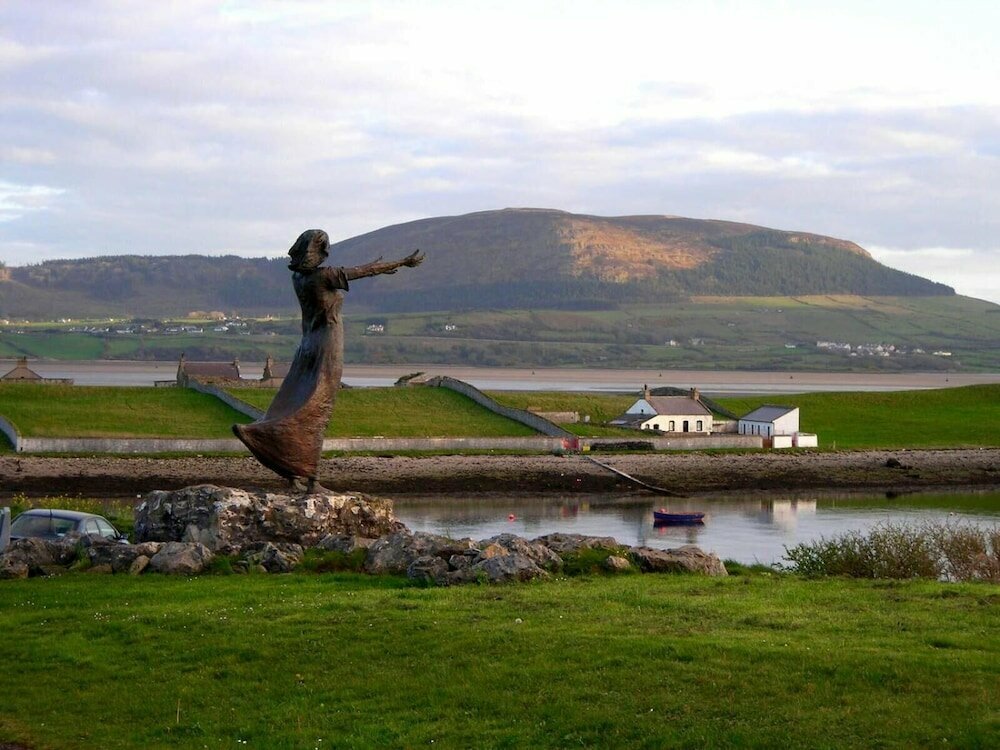 Indicated (1838).Fairy fort / earthen ringfort · 1251 yd
 CastleCastle, motte · 1.1 mi
 Giants GraveArchaeological place · 1.1 mi
 Castle (in Ruins)Castle, tower house · 1.7 mi
 Field MapleField Maple · 1.8 mi
 European ashEuropean ash · 2.4 mi
 James MorrisonMemorial · 3.1 mi
 Riverstown Folk ParkHeritage attraction · 3.3 mi
 Battle of Collooneybattle · 3.4 mi