What is recorded here
Killaglasheen holds a broad earthen ring on a drumlin slope, marked by a deep flat-bottomed ditch and a seven-metre entrance gap. People may have lived inside its bank or feared the fairies said to occupy such places, yet the earth still keeps the shape of that choice.
Located towards the bottom of the SW-facing slope of a drumlin. This a scrub-covered oval area (dim. 41m N-S; int. dims 34m N-S; c. 25m E-W) defined by an earthen bank (Wth 6.5m; int. H 1.2m; ext. H 1.6-2m) and a flat-bottomed fosse (Wth of top 6-8m; Wth of base 3.5-4.5m; D 0.9m) with traces of an outer bank. There is an entrance gap (Wth 7.5m) at NNE, but the fosse is re-cut here.
The above description is derived from 'The Archaeological Inventory of County Leitrim' compiled by Michael J. Moore (Dublin: Stationery Office, 2003). In certain instances the entries have been revised and updated in the light of recent research.
Date of upload: 23 September 2008
The monument record does not grant public access. Check the route and ask the landowner before entering private land.
- What survives
- Recorded monument
Places near here
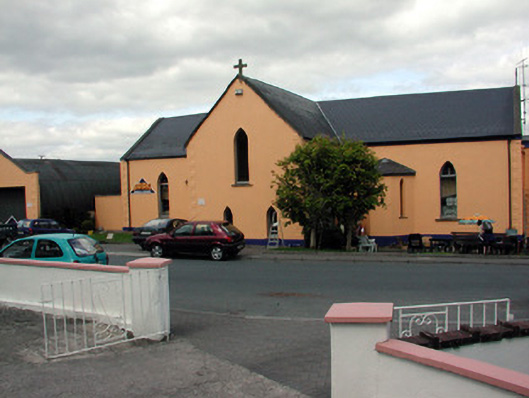 church/chapelchurch/chapel · 1.0 mi
 Saint Patrick's Catholic Churchchurch/chapel · 1.1 mi
 John Joe McGirlMonument · 1.1 mi
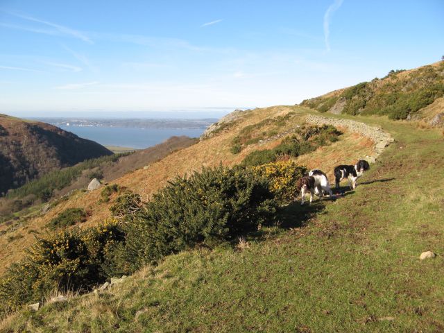 Embanked enclosureFairy fort / earthen ringfort · 1.3 mi
 DrumbadMountain / peak · 2.8 mi
 Buck IslandIsland · 3.2 mi
 Turf IslandIsland · 3.2 mi
 Swan Island pet farmHeritage attraction · 3.3 mi
 DrumgownaghMountain / peak · 3.7 mi
 Cromlin Bridge WoodWood · 3.8 mi
 CastleCastle, tower house · 3.9 mi
 Bawn in Cherry IslandBawn · 3.9 mi