What is recorded here
Killaghteen holds a broken circular fort where field boundaries still bend around its ghost. The earth bank has flattened into pasture, but the shape remains large enough to walk through and strange enough to remember.
In pasture, on slight E-facing slope. Circular area (32.6m N-S; 35.4m E-W) enclosed by earthen bank (int. H 0.2m; ext. H 0.4m) with external fosse (D 0.15m; Wth 2.3m). Enclosing element is covered by trees and bushes. Entrance (Wth 5m) through bank at ESE; gaps (Wth 2m) at NNE, SSE and NE. Interior slopes down to E, and is covered by waterlogged pasture. Field boundary kinks around enclosure, 15m out from edge, SW->N.
Compiled by: Denis Power
Date of upload: 26 August 2011
See attached ASI aerial photograph ASIAP - 329/19 on 05/10/2002.
The monument record does not grant public access. Check the route and ask the landowner before entering private land.
- What survives
- Recorded monument
Places near here
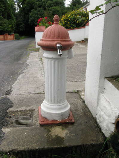 water pumpwater pump · 1178 yd
 bridgebridge · 1643 yd
 Limerick GreenwayWalking route · 1.4 mi
 Enclosure in Ballymurragh EastEnclosure · 1.5 mi
 Enclosure in Garryduff (glenquin By., Garryduff Ed)Enclosure · 1.5 mi
 Templars Castle (in ruins)Castle, Anglo-Norman masonry castle · 2.3 mi
 Sugar HillMountain / peak · 2.3 mi
 TobereenalaffinaSpring · 3.7 mi
 Glenquin CastleCastle · 4.1 mi
 Saint Ite's WellSpring · 4.6 mi
 Barnagh HillMountain / peak · 5.2 mi
 Lawson's CypressLawson's Cypress · 7.0 mi