What is recorded here
Killaghteen held a double-embanked ringfort wide enough for a small household, but ploughing and boundary changes erased the visible bank. The land still marks the forgotten shape through crop growth, keeping the circle alive beneath ordinary pasture. What looked like an empty field may have contained kitchens, doors and arguments, now reduced to a ghost shadow that only drought or altitude can reveal.
In pasture, on slight NW-facing slope. Monument, depicted on 1924 OS 6-inch map as embanked circular enclosure (diam. c. 25m), has been levelled. No trace of monument evident when inspected. Surrounding field boundaries have been removed. Aerial photograph (ASIAP) taken in 2002 shows cropmark of bi-vallate circular enclosure.
Compiled by: Denis Power
Date of upload: 26 August 2011
See attached ASI aerial photograph ASIAP – 324A/2, 4, 5 on 05/10/2002.
The monument record does not grant public access. Check the route and ask the landowner before entering private land.
- What survives
- Recorded monument
Places near here
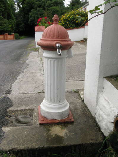 water pumpwater pump · 1334 yd
 Holy well in Ballyshane (glenquin By.)Holy well · 1.2 mi
 viaductviaduct · 1.3 mi
 Enclosure in Ballymurragh EastEnclosure · 1.4 mi
 Templars Castle (in ruins)Castle, Anglo-Norman masonry castle · 1.9 mi
 Limerick GreenwayWalking route · 2.0 mi
 Sugar HillMountain / peak · 2.8 mi
 TobereenalaffinaSpring · 3.9 mi
 Glenquin CastleCastle · 3.9 mi
 Saint Ite's WellSpring · 4.3 mi
 Ballagh MountainMountain / peak · 5.3 mi
 Lawson's CypressLawson's Cypress · 7.5 mi