What is recorded here
Killachunna held a forty-metre oval fort on a grassy hummock, large enough to exclude every ordinary creature yet small enough to hide inside a single field. People may have lived there, loved there, or forgotten the names of everyone who bled on its soil. The earth swallowed the boundary until even the memory became a line on a forgotten survey. What remains is a shape the land refused to release, waiting for someone stubborn enough to listen.
On a hummock in grassland. Marked on the 1838 edition of the OS 6-inch map as an oval enclosure (c. 40m NE-SW; c. 32m NW-SE). On the OS 1:2500 plan (surveyed 1912-16) it is indicated by a line of hachures curving from S to NW. The curing field boundary shown on the 1945 revision of the 6-inch map probably mirrored its outline. No visible surface trace survives.
Compiled by: Galway Archaeological Survey, UCG
Date of upload: 26 July 2019
The monument record does not grant public access. Check the route and ask the landowner before entering private land.
- What survives
- Recorded monument
Places near here
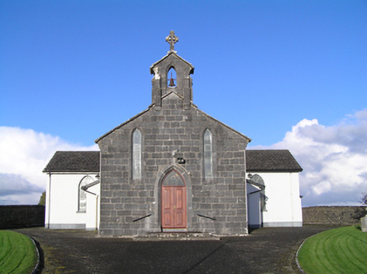 Catholic Church of Christ the Kingchurch/chapel · 203 yd
 shrine/oratory/grottoshrine/oratory/grotto · 218 yd
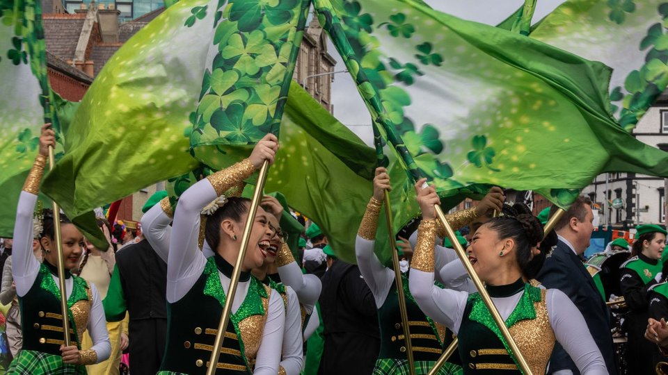 St Patricks WellHoly well · 1201 yd
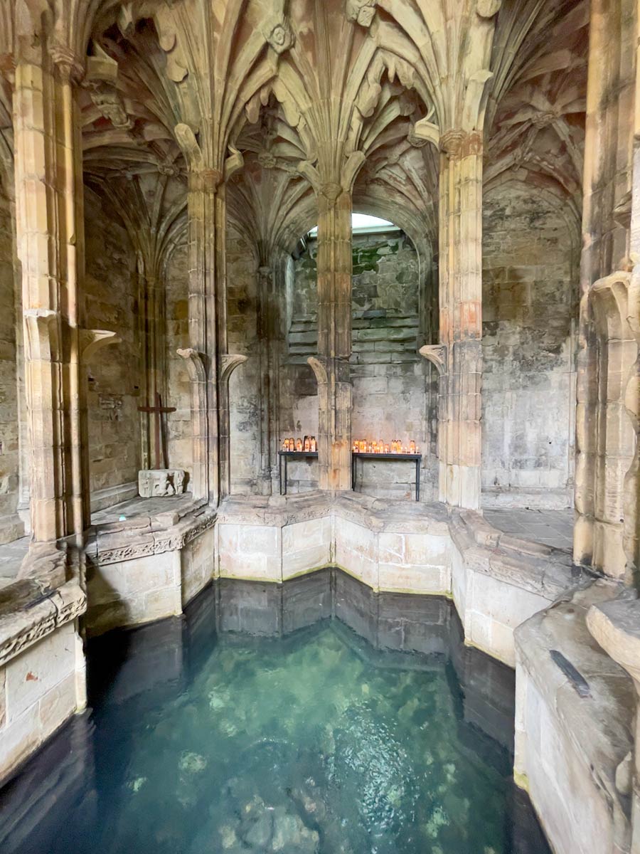 Ecclesiastical enclosure in StowlinEcclesiastical enclosure · 1403 yd
 Longford Castle (in ruins)Castle, unclassified · 2.8 mi
 Ballymore CastleCastle, tower house · 4.0 mi
 Silver FirSilver Fir · 4.0 mi
 European YewEuropean Yew · 4.4 mi
 Ballymacegan IslandIsland · 4.7 mi
 Church HillMountain / peak · 4.8 mi
 Redmond HillMountain / peak · 4.8 mi
 Long IslandIsland · 4.9 mi