What is recorded here
Situated on a small rise, on a S-facing slope, just below the summit of a large ridge, in pasture, with good views to S and W. Depicted on the revised 1910 ed. OS 25-inch map as a suboval-shaped earthwork abutting a townland boundary to S and W. Monument described as an oval-shaped area (dims. 34m N-S; 32m E-W) enclosed by a bank and external fosse. The bank is low and is best preserved from E-S and is almost reduced to a scarp from S-W-N-E. The fosse is best preserved from SE-S-W where it appears to have been re-cut as a drain associated with a townland boundary which runs along the outer edge of the fosse around this arc. The fosse is faint elsewhere from W-N-E-SE. There are no indications of an entrance. The interior has a W-facing slope and is scattered with stones which appear to derive from field clearance. There is a possible house site (WM030-082001-) in the S quadrant. Monument is visible today as a tree-planted earthwork on Digital Globe aerial photography.
Compiled by Alison McQueen, Vera Rahilly and Caimin O’Brien.
Date of upload: 09 November 2019
The monument record does not grant public access. Check the route and ask the landowner before entering private land.
- What survives
- Recorded monument
Places near here
 OutlinedFairy fort / earthen ringfort · 312 yd
 Dún na Sí Heritage CentreMuseum · 989 yd
 Dún na SíMuseum · 1023 yd
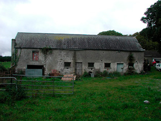 Ballynagarby Housedairy, outbuilding · 1098 yd
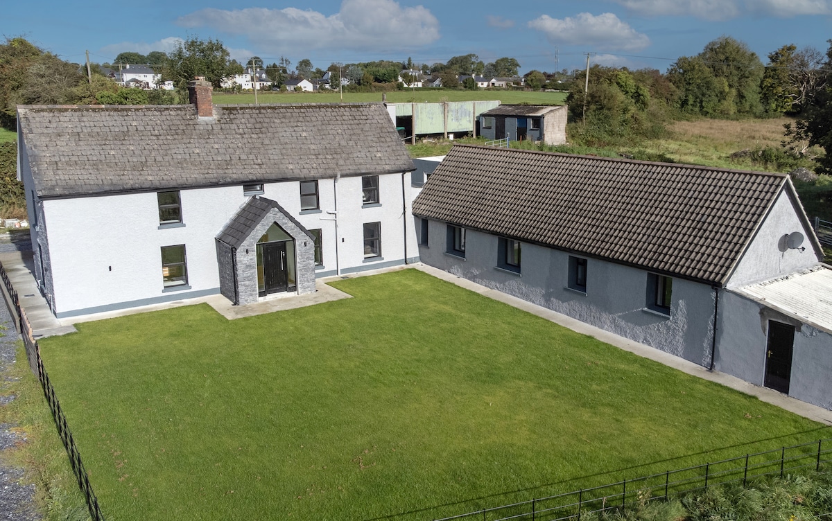 Bawn in DuneganBawn · 1351 yd
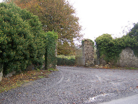 Shurock Housedemesne walls/gates/railings · 1434 yd
 CastleCastle, unclassified · 1652 yd
 Charles BianconiMemorial · 1.3 mi
 Moate HillMountain / peak · 1.5 mi
 Roughan HillMountain / peak · 4.7 mi