What is recorded here
Kilkerrin holds a fifty-one-metre earthen ring on a grassy rise, its stone-and-dirt bank still visible from the north through the east before fading into a shallow scarp. Field banks cut across its northern and southern edges, marking how human farms have repeatedly reclaimed the boundary between the living world and the fairy realm. The fort is not a polished monument but a bruised circle in ordinary ground, the kind of place where people may have kept livestock, hidden during trouble, or simply refused to believe the old warning about never entering a fairy fort at midnight.
On a rise in undulating grassland. Circular ringfort (D 51m), in fair condition, defined by a bank of earth and stone from N through E to SE, and elsewhere by a scarp. The monument is cut at N and S by a field bank.
The above description is derived from the published 'Archaeological Inventory of County Galway Vol. II - North Galway'. Compiled by Olive Alcock, Kathy de hÓra and Paul Gosling (Dublin: Stationery Office, 1999).
Date of upload: 05 August 2010
The monument record does not grant public access. Check the route and ask the landowner before entering private land.
- What survives
- Recorded monument
Places near here
 Kilkerrin Churchchurch/chapel · 453 yd
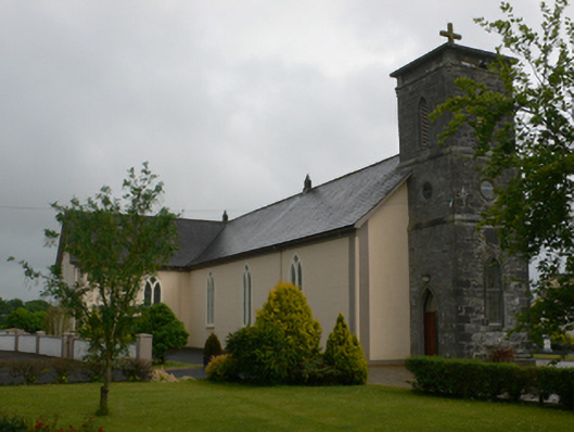 Saint Joseph's Catholic Churchchurch/chapel · 529 yd
 Enclosure in Kilcornan (tiaquin By.)Enclosure · 1276 yd
 Enclosure in Acres (tiaquin By.)Enclosure · 1509 yd
 Site of CastleCastle, tower house · 1.3 mi
 Bawn in Kiltullagh (tiaquin By.)Bawn · 2.3 mi
 HawthornHawthorn · 5.0 mi
 Ballinlass Eviction MemorialMemorial · 5.5 mi
 Wych ElmWych Elm · 5.6 mi
 Mount MaryMountain / peak · 7.3 mi
 Site of Killomaine Grave YardArchaeological place · 8.7 mi
 Sally IslandIslet · 10.0 mi