What is recorded here
Kolgolban holds a thirty-metre circular fort with two earthen banks and a narrow gap at the north-east, waiting for footsteps that stopped coming centuries ago. The flat top of the outer bank is wide enough to walk, though overgrowth now hides the edge and the inner ground has forgotten its shape. People may have stood there at dusk, watching the pasture tilt into darkness, before leaving the place to moss and memory.
In level pasture. Circular area (diam. 30m) enclosed by two concentric earthen banks with intervening (Wth 3.8m) and external fosse (D 0.3m; Wth 4m). Inner bank (int. H 0.25m; ext. H 0.9m) grades towards scarped edge in places. External bank (int. H 0.45m; ext. H 0.7m) is noticeably flat-topped (Wth at top 7.4m). Gap (Wth 1.8m) through external bank at NE. Interior level and largely covered with overgrowth as is enclosing element.
Compiled by: Denis Power
Date of upload: 26 August 2011
The monument record does not grant public access. Check the route and ask the landowner before entering private land.
- What survives
- Recorded monument
Places near here
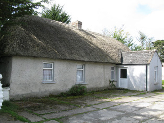 farm house, housefarm house, house · 441 yd
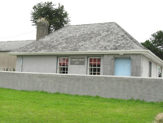 Cloncagh Carnegie Librarylibrary/archive · 1080 yd
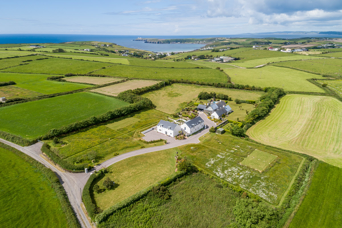 Enclosure in Ballynoe (glenquin By., Ballynoe West Ed)Enclosure · 1088 yd
 Partially indicatedEcclesiastical enclosure · 1213 yd
 Sunday WellSpring · 1330 yd
 Lady's WellSpring · 1370 yd
 Ballynoe Castle (in ruins)Castle, tower house · 1571 yd
 Mayne Ho.Castle, unclassified · 2.7 mi
 European ashEuropean ash · 2.8 mi
 Famine stoneMemorial · 5.1 mi
 Ballagh MountainMountain / peak · 8.3 mi
 Limerick GreenwayWalking route · 8.7 mi