What is recorded here
Situated on gentle NE facing slope of a natural rise, in pasture with good views to NW, NE and SE. Ringfort (WM017-065----) c. 180m to NW. Depicted on the 1837 ed. OS 6-inch map as a circular-shaped enclosure, with field boundary running NW-SE extending from S. Annotated, ‘Condragh Fort’ on the 1837 OS Fair Plan map. Ringfort not depicted on the revised OS 6-inch map, however curving field boundary on this map at E preserves enclosing element of ringfort. Curving field boundary and faint outline of levelled bank visible as a cropmark from SE-W-N on Digital Globe aerial photography.
Described in 1971 as a levelled, roughly circular-shaped area (dims. 27m NE-SW; 26m NW-SE) enclosed by a modern wall from NNE-E-S and defined by a very slight rise in the ground surface from S-W-NNE, with traces of an external fosse at SW. N o entrance feature visible. The interior has a gentle NE-facing slope with no visible trace of any significant features.
Compiled by: Alison McQueen, Vera Rahilly and Caimin O’Brien
Date of upload: 19 December 2018
This remains an important historical record, but the official description says the monument is no longer visible or has been destroyed. The monument record does not grant public access. Check the route and ask the landowner before entering private land.
- What survives
- No visible remains or recorded as destroyed
Places near here
 OutlinedFairy fort / earthen ringfort · 1058 yd
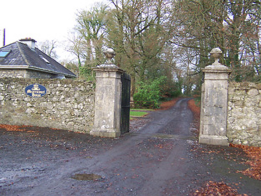 Mearscourt Housedemesne walls/gates/railings · 1432 yd
 Rathcastle Househouse · 1481 yd
 IndicatedFairy fort / earthen ringfort · 1665 yd
 Hachured, 420 ODCastle, motte · 1.3 mi
 CastleCastle, tower house · 1.4 mi
 Ancient Ring FortWood · 2.3 mi
 Sessile OakSessile Oak · 2.8 mi
 Abbeyshrule AbbeyRuins · 4.2 mi
 Craft WorkshopHeritage attraction · 5.0 mi
 Guest ServicesVisitor information · 5.1 mi
 Goldsmith Birthplace, PallasVisitor information · 5.3 mi