What is recorded here
Situated just below the summit, on the N side of a natural ridge, with extensive views to W, N and E. Monument is visible as a circular-shaped tree-lined earthwork on Digital Globe aerial photography. Depicted on the 1837 ed. OS 6-inch map as a circular-shaped tree-lined enclosure, with field boundary running NW-SE extending from NW and intersecting with a field boundary running NE-SW at ESE.
Described in 1980 as a roughly circular-shaped area (approx. dims. 38.5m N-S; 37.5m E-W) enclosed by a bank which is reduced to a scarp, an outer fosse with the very slight remains of a low counterscarp bank outside it. There is no sign of an original entrance. The inner bank is best preserved and quite substantial from E-S-W, is reduced to a scarp from W-N-NNE and is poorly preserved from NNE-NE-E. There is a modern gap in the scarp at W and some cattle breaches at N and SSE. The fosse is well preserved where it is wide and deep from SE-SW-W and has been partially infilled from W-N-E-SE. The outer bank is very faint and is only clearly visible from SE-S-SW. The interior has a slight W-facing slope. Inside the modern gap at W and extending into the interior there is a modern cattle crush running E-W.
Compiled by: Alison McQueen, Vera Rahilly and Caimin O’Brien
Date of upload: 13 December 2018
The monument record does not grant public access. Check the route and ask the landowner before entering private land.
- What survives
- Recorded monument
Places near here
 OutlinedFairy fort / earthen ringfort · 817 yd
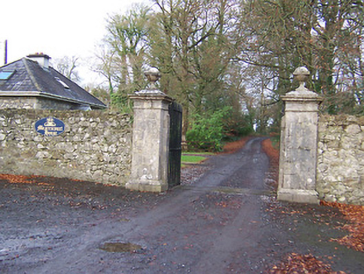 Mearscourt Housedemesne walls/gates/railings · 1382 yd
 gates/railings/wallsgates/railings/walls · 1398 yd
 IndicatedFairy fort / earthen ringfort · 1421 yd
 Hachured, 420 ODCastle, motte · 1.4 mi
 CastleCastle, tower house · 1.6 mi
 Ancient Ring FortWood · 2.4 mi
 Sessile OakSessile Oak · 2.7 mi
 Abbeyshrule AbbeyRuins · 4.1 mi
 Craft WorkshopHeritage attraction · 4.9 mi
 Guest ServicesVisitor information · 4.9 mi
 Goldsmith Birthplace, PallasVisitor information · 5.2 mi