What is recorded here
Situated on the summit of a broad hill, in undulating pasture with good views in all directions. Depicted on the 1837 OS 6-inch map as an oval-shaped enclosure truncated by a trackway and a field boundary at N and E, respectively. Depicted on the revised 1913 ed. OS 25-inch map as roughly rectangular-shaped enclosure, indicating that the shape of the enclosure may have been modified between the two editions of the map.
Described in 1980 as a roughly rectangular-shaped area (34.5m E-W; 32.5m N-S) enclosed by a bank of earth and stone, with no entrance feature or external fosse visible. The bank is best preserved from NE-S where it has a curvilinear form. It is less substantial where it is linear in form along the W half of the S-side, the W and N sides. There are the remains of internal stone facing at S and SSW. There are a number of disturbance gaps. The interior has an ENE-facing slope and has old cultivation ridges running ENE-WSW. Similar cultivation ridges running NNE-SSW can be seen in the vicinity of the monument to N. An old roadway runs NW-SE outside the bank at NE and a field bank runs N-S, just outside the bank to E. A preservation order was placed on this monument on the 24/04/1987 (SMR File). Monument visible today as a roughly rectangular-shaped earthwork on Digital Globe aerial photography.
Compiled by: Alison McQueen, Vera Rahilly and Caimin O’Brien
Date of upload: 20 December 2018
The monument record does not grant public access. Check the route and ask the landowner before entering private land.
- What survives
- Recorded monument
Places near here
 Partially hachuredFairy fort / ringfort · 1371 yd
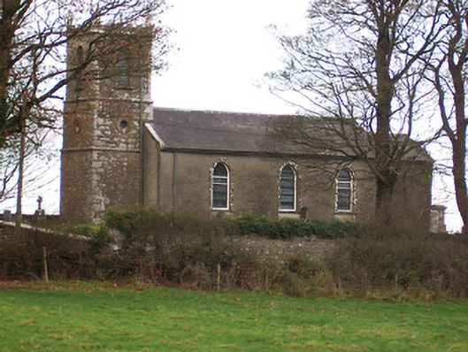 Saint Nicholas's Church (Ballymorin)church/chapel · 1478 yd
 Hachured, 420 ODCastle, motte · 1506 yd
 Rathcastle Househouse · 1.0 mi
 OutlinedFairy fort / earthen ringfort · 1.0 mi
 CastleCastle, tower house · 1.9 mi
 Ancient Ring FortWood · 2.0 mi
 Sessile OakSessile Oak · 3.2 mi
 Abbeyshrule AbbeyRuins · 4.7 mi
 Craft WorkshopHeritage attraction · 5.4 mi
 Guest ServicesVisitor information · 5.5 mi
 Goldsmith Birthplace, PallasVisitor information · 5.8 mi