What is recorded here
No amount of polishing makes absent facts into truth.
Situated in the corner of a field, this site has extensive views in all directions. A circular enclosure is marked on the 1841-42 and 1914 OS maps and can also be seen on the Geological Survey of Ireland aerial photographs (1974). However, the site has been levelled and no surface trace survives.
The above description is derived from C. Toal, ‘North Kerry Archaeological Survey’. Dingle. Brandon in association with FAS Training and Employment Authority (1995), no. 289. In certain instances the entries have been revised and updated in the light of recent research.
Date of upload: 2 August 2013
The monument record does not grant public access. Check the route and ask the landowner before entering private land.
- What survives
- Recorded monument
Places near here
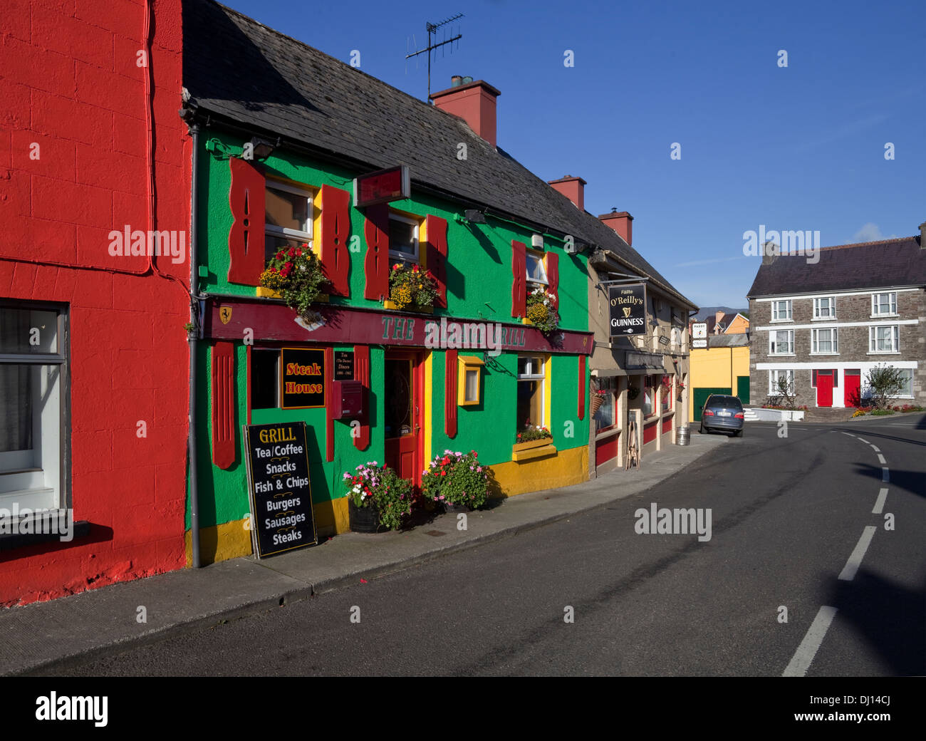 Enclosure in KilgarvanEnclosure · 277 yd
 Burnt spread in KilgarvanBurnt spread · 1005 yd
 Coolbeha Househouse · 1.1 mi
 Bawn in BallydonohoeBawn · 1.4 mi
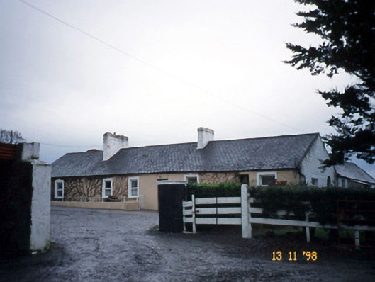 Gunsboroughfarmyard complex · 1.5 mi
 Bawn in GlouriaBawn · 1.7 mi
 KnockanoreMountain / peak · 3.0 mi
 Siege of Carrigafoyle Castlesiege · 4.5 mi
 Lartigue MonorailMuseum · 4.6 mi
 John B. Keane GroveMemorial · 4.6 mi
 Carrig IslandIsland · 4.8 mi
 Bryan MacMahonMemorial · 5.0 mi