What is recorded here
Kilgarvan’s fairy fort was a small earthen ring marked on maps from 1841 to 1914, nestled beside a disused children’s burial ground. It has since been levelled, erasing its ridge and leaving only that strange proximity behind. The loss transforms the site into a warning about how quickly human and fairy claims can vanish when soil is reordered.
A small circular enclosure is marked on the 1841- 42 and 1914 OS maps. It was situated SE of Kilgarvan's disused children's burial ground (KE005-056001-). This site has now been levelled and no surface trace survives.
The above description is derived from C. Toal, ‘North Kerry Archaeological Survey’. Dingle. Brandon in association with FAS Training and Employment Authority (1995), no. 291. In certain instances the entries have been revised and updated in the light of recent research.
Date of upload: 2 August 2013
The monument record does not grant public access. Check the route and ask the landowner before entering private land.
- What survives
- Recorded monument
Places near here
 Enclosure in KilgarvanEnclosure · 149 yd
 Burnt spread in KilgarvanBurnt spread · 1411 yd
 Coolbeha Househouse · 1599 yd
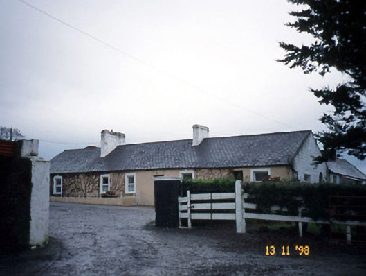 Gunsboroughfarmyard complex · 1.2 mi
 Bawn in BallydonohoeBawn · 1.3 mi
 Bawn in GlouriaBawn · 1.5 mi
 KnockanoreMountain / peak · 3.2 mi
 Lartigue MonorailMuseum · 4.4 mi
 John B. Keane GroveMemorial · 4.4 mi
 Siege of Carrigafoyle Castlesiege · 4.7 mi
 Bryan MacMahonMemorial · 4.7 mi
 Kerry Writers' MuseumMuseum · 4.7 mi