What is recorded here
Kilfinny’s earthen ringfort is a circular pasture feature with a shallow bank and outer ditch, now hidden beneath thick growth. People later reused part of the ridge as a field boundary, pulling an older shape into daily farm life. The fairies may have built it, but humans certainly walked past it for generations.
In pasture, on gently undulating terrain. Monument, depicted as embanked circular enclosure (diam. c. 30m) on 1924 OS 6-inch map, now almost completely covered by dense overgrowth. Where accessible it is enclosed by low earthen bank (H c. 0.5m) with external fosse (Wth c. 0.7m) and counterscarp bank (int. H 1.5m; ext. H 0.95m) which has been stone faced to form part of surrounding field boundary system. Field boundaries abut bank at E, W and S.
Compiled by: Denis Power
Date of upload: 26 August 2011
See attached ASI aerial photograph ASIAP – taken on 04/03/2006.
The monument record does not grant public access. Check the route and ask the landowner before entering private land.
- What survives
- Recorded monument
Places near here
 Lismoylan - HachuredFairy fort / earthen ringfort · 485 yd
 IndicatedFairy fort / earthen ringfort · 733 yd
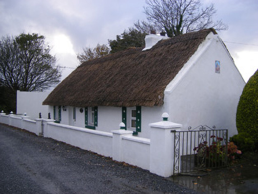 Leprechaun Cottagehouse · 737 yd
 KilnKiln, lime · 890 yd
 Kilfinny CastleCastle · 1110 yd
 Kilmacow Ho.Bawn · 1.0 mi
 Kinnoor WellSpring · 1.1 mi
 Flat cemetery in Kiltenan SouthFlat cemetery · 1.9 mi
 KnockfeerinaMountain / peak · 2.0 mi
 Famine stoneMemorial · 2.1 mi
 Dysert AenghusaHeritage attraction · 2.8 mi
 Biodiversity in the Maigue CatchmentVisitor information · 3.8 mi