What is recorded here
Situated on a slight S-facing slope with a W-E canalised stream immediately to the S. The cropmark of a circular enclosure (diam. c. 35-400m) defined by a single fosse feature with an entrance gap at E is visible on aerial photographs (MM (16) 20–22). It is also visible on Google Earth (14/07/2018).
See the attached enhanced view from Google Earth
The above description is derived from the published 'Archaeological Inventory of County Wexford' (Dublin: Stationery Office, 1996). In certain instances the entries have been revised and updated in the light of recent research.
Compiled by: Michael Moore
Date of upload/revision: 21 May, 2012
Amended: 6 May, 2014, 23 July 2021
The monument record does not grant public access. Check the route and ask the landowner before entering private land.
- What survives
- Recorded monument
Places near here
 Not indicaetdFairy fort / earthen ringfort · 373 yd
 Enclosure in Ballinastraw UpperEnclosure · 746 yd
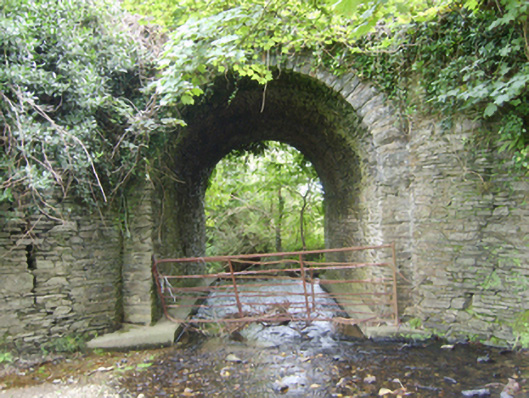 Ballinvally Bridgebridge · 1318 yd
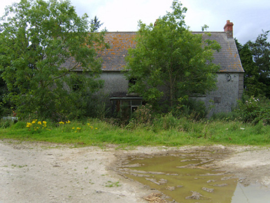 Mount Howardfarm house · 1.0 mi
 Boley HillMountain / peak · 1.9 mi
 Carrigroe HillMountain / peak · 2.3 mi
 Giants BedNamed rock · 2.6 mi
 The CoilWood · 2.9 mi
 Bird BoxesVisitor information · 3.0 mi
 The GroveWood · 3.0 mi
 Birds of PreyVisitor information · 3.1 mi
 Father Murphy CentreHeritage attraction · 3.4 mi