
What is recorded here
Situated on a NE-facing slope. The cropmark of an oval enclosure (max. dims c. 60m NE-SW; c. 43m NW-SE) defined by a fosse feature is visible only on Google Earth (14/07/2018). It is almost contained within a sub-triangular field (max. dims c. 92m NW-SE; c. 87m NE-SW) defined by ditches with the apex at SE. The field is represented on the 1839 edition of the OS 6-inch map. The cropmarks were first reported by Jean Charles Caillère, and were also noted by Simon Dowling.
Compiled by: Michael Moore
Date of upload: 18 September 2019
Amended: 4 March, 2020
The monument record does not grant public access. Check the route and ask the landowner before entering private land.
- What survives
- Recorded monument
Places near here
 Enclosure in CourtballyedmondEnclosure · 631 yd
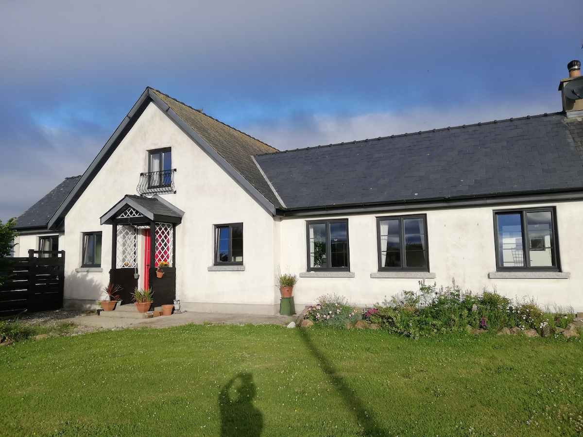 Not indicaetdFairy fort / earthen ringfort · 992 yd
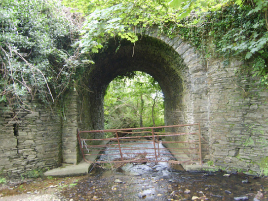 Ballinvally Bridgebridge · 1043 yd
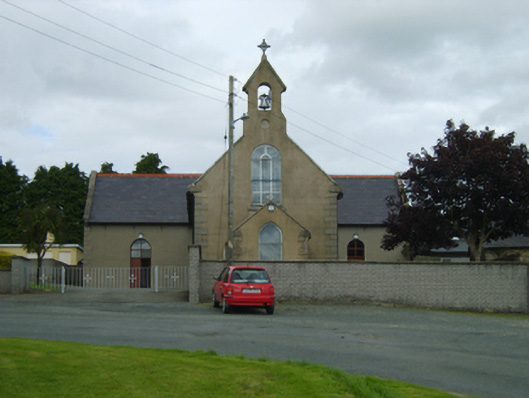 Saint Moling's Catholic Churchchurch/chapel · 1360 yd
 Boley HillMountain / peak · 2.4 mi
 Bird BoxesVisitor information · 2.6 mi
 Carrigroe HillMountain / peak · 2.6 mi
 Fontainebleau service treeFontainebleau service tree · 2.6 mi
 Birds of PreyVisitor information · 2.7 mi
 Giants BedNamed rock · 2.9 mi
 The CoilWood · 3.1 mi
 Father Murphy CentreHeritage attraction · 3.3 mi
Other information
Photo: Credit not shown in the picture search · Rights wording not checked; contact us if this picture should be removed