What is recorded here
No visible gap remains in the grassy ring, yet the missing entrance suggests a hidden door rather than a forgotten wall. The fort sits at the south end of a ridge like a bead on a string, waiting for someone brave enough to find its opening.
Situated on the crest of a N-S drumlin ridge towards its S end. This is a grass-covered circular platform (diam. c. 44m E-W; c. 41m N-S) defined by an overgrown fosse (at S: Wth of top 3.4m; Wth of base 1.1m; int. D 1.1m; ext. D 0.3m; at NE: Wth of top 7m; Wth of base 3m; int. D 1.6m; ext. D 0.5m). The original entrance is not identified. It is within a small triangular annexe at the SE corner of a field, and the area within the annexe but outside the rath is planted in coniferous trees.
The above description is derived from 'The Archaeological Inventory of County Leitrim' compiled by Michael J. Moore (Dublin: Stationery Office, 2003). In certain instances the entries have been revised and updated in the light of recent research.
Compiled by: Michael Moore
Date of upload: 23 September 2008
Amended: 6 December 2019
The monument record does not grant public access. Check the route and ask the landowner before entering private land.
- What survives
- Recorded monument
Places near here
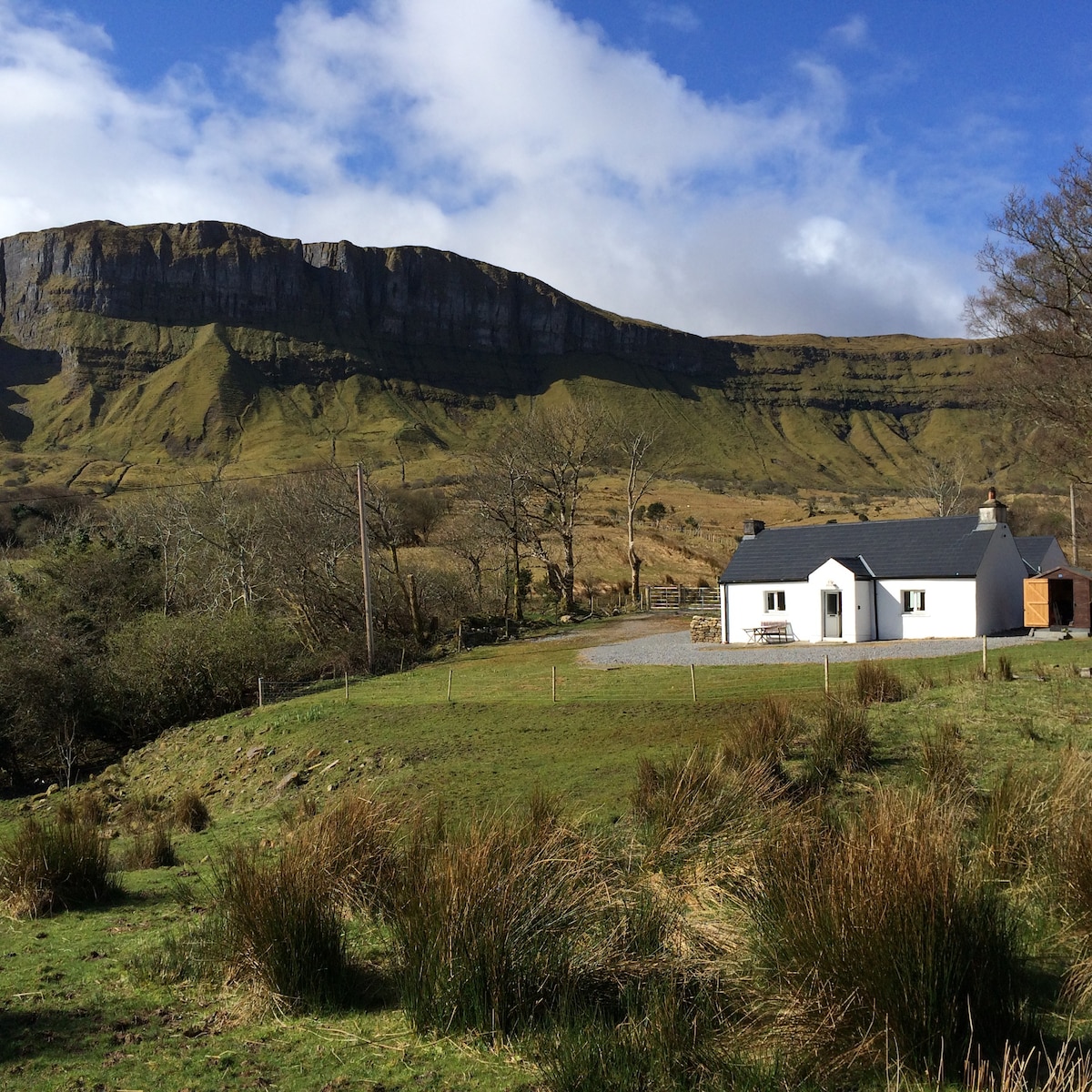 IndicatedFairy fort / earthen ringfort · 1.0 mi
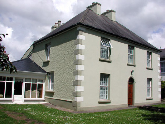 Fortview Househouse · 1.1 mi
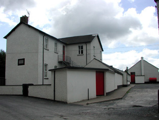 Saint Joseph's National Schoolschool · 1.1 mi
 Sweathouse in Cavan (mohill By.)Sweathouse · 1.1 mi
 Turlough O'Carolan MonumentHeritage attraction · 1.4 mi
 Giant's GraveArchaeological place · 2.8 mi
 TuliptreeTuliptree · 2.8 mi
 Lawson's CypressLawson's Cypress · 2.8 mi
 Little IslandIslet · 2.8 mi
 CastleCastle, tower house · 2.9 mi
 Duck IslandIslet · 2.9 mi
 Tom Dunphy MemorialMemorial · 3.7 mi