What is recorded here
Fairy fort in Kildoagh, County Monaghan, stands on a drumlin where a curving field bank may still hold part of its ancient perimeter. The 1858 map called it a fort, yet no wall or trench remains visible, only a ridge of earth shaped by time and plough. Perhaps people lived there before memory faded, or perhaps the land itself dreamed a fortress into being. Either way, the drumlin keeps its secret, waiting for someone clever enough to listen.
Located on top of a drumlin. This location is marked only on a revision of the 1834 edition of the OS 6-inch map dated 1858 where it is described as ‘Site of fort’. No archaeological feature is visible, although part of the perimeter may be incorporated into a curving field bank W-NE.
The above description is derived from the published 'Archaeological Inventory of County Monaghan' (Dublin: Stationery Office, 1986). In certain instances the entries have been revised and updated in the light of recent research.
Date of revision: 26 January 2018
The monument record does not grant public access. Check the route and ask the landowner before entering private land.
- What survives
- Recorded monument
Places near here
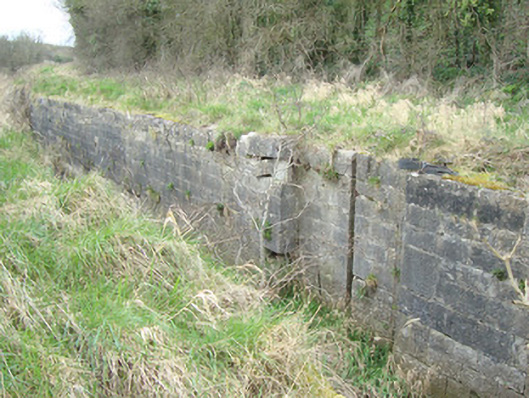 12th Lock and 11th Lockcanal (section of) · 742 yd
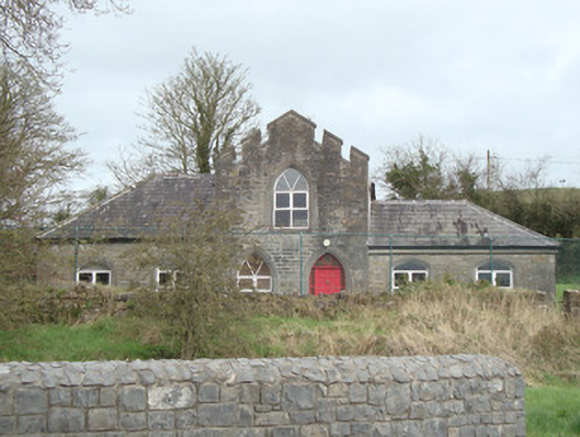 Tyholland National Schoolschool · 748 yd
 CarnCairn, unclassified · 1682 yd
 IndicatedCrannog · 1.0 mi
 Caldwells' WoodWood · 1.1 mi
 Liscarney WoodWood · 1.2 mi
 Castleshane WaterfallWaterfall · 2.2 mi
 Monaghan County MuseumMuseum · 2.8 mi
 Rossmore MonumentMemorial · 2.9 mi
 Bawn in Roosky (monaghan By., Monaghan Par.)Bawn · 2.9 mi
 Battle of ClontibretBattlefield · 4.3 mi
 Banba GiantHeritage attraction · 4.4 mi