What is recorded here
Situated in a rise in a gently undulating landscape with a small canalised N-S stream c. 40m to the E and turning SW to run c. 50m S of the monument. A circular embanked enclosure (ext. diam. c. 50m) is depicted on the 1836 edition of the OS 6-inch map and an oval hachured feature is represented on the 1912 edition. This is a slightly raised grass and scrub-covered oval platform (dims c. 30m NE-SW; c. 15m NW-SE) the S part of which has been quarried. It is probably a rath.
The above description is derived from the published 'Archaeological Inventory of County Meath' (Dublin: Stationery Office, 1987). In certain instances the entries have been revised and updated in the light of recent research.
Compiled by: Michael Moore
Date of revision: 12 August 2019
The monument record does not grant public access. Check the route and ask the landowner before entering private land.
- What survives
- Recorded monument
Places near here
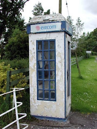 telephone boxtelephone box · 767 yd
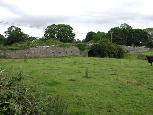 Castlejordan Bridgebridge · 809 yd
 Castle JordanArchaeological place · 820 yd
 IndicatedBawn · 847 yd
 Enclosure in KillowenEnclosure · 1.3 mi
 Enclosure in StonehouseEnclosure · 1.5 mi
 Roundhill WoodForest · 2.0 mi
 Rahin WoodsForest · 2.5 mi
 Moat HillMountain / peak · 3.8 mi
 Knockdrin HillMountain / peak · 5.0 mi
 Croppies' GraveMemorial · 5.2 mi
 Sli na Slainte - mapVisitor information · 10 mi