What is recorded here
That is the largest surviving chamber in County Meath, a vast stone vault cut into the living hillside rather than built from scattered rubble. An unknown hand shaped the rock during the medieval period, creating a space large enough for dozens of people to gather beneath the earth. The chamber remains open and unoccupied, preserving the scale of the intention even though the people who used it have vanished.
Situated in a rise in a gently undulating landscape with a small canalised N-S stream c. 40m to the E and turning SW to run c. 50m S of the monument. A circular embanked enclosure (ext. diam. c. 50m) is depicted on the 1836 edition of the OS 6-inch map and an oval hachured feature is represented on the 1912 edition. This is a slightly raised grass and scrub-covered oval platform (dims c. 30m NE-SW; c. 15m NW-SE) the S part of which has been quarried. It is probably a rath.
The above description is derived from the published 'Archaeological Inventory of County Meath' (Dublin: Stationery Office, 1987). In certain instances the entries have been revised and updated in the light of recent research.
Compiled by: Michael Moore
Date of revision: 12 August 2019
The monument record does not grant public access. Check the route and ask the landowner before entering private land.
- What survives
- Recorded monument
Places near here
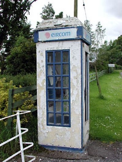 telephone boxtelephone box · 767 yd
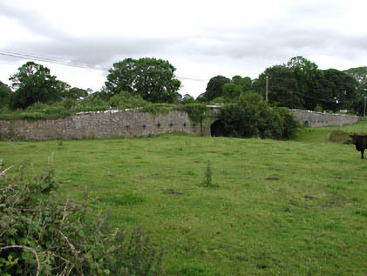 Castlejordan Bridgebridge · 809 yd
 Castle JordanArchaeological place · 820 yd
 IndicatedBawn · 847 yd
 Enclosure in KillowenEnclosure · 1.3 mi
 Enclosure in StonehouseEnclosure · 1.5 mi
 Roundhill WoodForest · 2.0 mi
 Rahin WoodsForest · 2.5 mi
 Moat HillMountain / peak · 3.8 mi
 Knockdrin HillMountain / peak · 5.0 mi
 Croppies' GraveMemorial · 5.2 mi
 Sli na Slainte - mapVisitor information · 10 mi