What is recorded here
Kilcreevanty holds a circular rath forty-seven metres across on a ridge above the Clare River, marked by two banks and a ditch that time has eaten from the south and east. The surviving earth suggests a place set apart, perhaps for residence or ritual, while the missing sections remind us that landscapes forget as much as they keep. A chambered tomb lies within the interior, linking the fort to older burial practices and implying that people continued to shape this ground long after first occupying it.
On the summit of a ridge flanked by bogland and the Clare River to S. Circular rath (D 47.7m), in fair condition, defined by two banks and an intervening fosse. The inner bank and fosse do not survive from SSE through S to SW, and the outer bank is not present from NE to ESE. A gap at SSE, although modern, may have given original access. A CBG (GA029-099001-) lies within the interior.
The above description is derived from the published 'Archaeological Inventory of County Galway Vol. II - North Galway'. Compiled by Olive Alcock, Kathy de hÓra and Paul Gosling (Dublin: Stationery Office, 1999).
Date of upload: 05 August 2010
The monument record does not grant public access. Check the route and ask the landowner before entering private land.
- What survives
- Recorded monument
Places near here
 Kilcreevanty Bridgebridge · 504 yd
 LismoreArchaeological place · 1026 yd
 Kilcreevanty NunneryReligious house, Benedictine nuns · 1180 yd
 Enclosure in GardenfieldEnclosure · 1566 yd
 European ashEuropean ash · 1.2 mi
 Fartamore Castle in ruinsCastle, tower house · 1.7 mi
 Fartamore Castle (ruins)Castle · 1.7 mi
 Mass RockNamed rock · 2.8 mi
 KnockmaaWood · 6.1 mi
 Kilcoona Round TowerHeritage attraction · 9.8 mi
 Walsh's IslandIslet · 13 mi
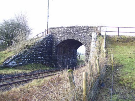 Varley's Bridgebridge · 1637 yd