What is recorded here
Situated on top of a prominent rise, in gently undulating pasture, with good views all around. Monument described in 1971 and 1976 as a circular-shaped area (dims. 25.4m E-W; 24.5m N-S) defined by a scarp (H 1.5-2m) has been destroyed in several places and has been quarried at S. A small earthen mound in the SW quadrant of the interior is probably the result of modern disturbance. There is also modern disturbance within the NE quadrant.
Compiled by Alison McQueen, Vera Rahilly and Caimin O’Brien.
Date of upload: 23 July 2019
This remains an important historical record, but the official description says the monument is no longer visible or has been destroyed. The monument record does not grant public access. Check the route and ask the landowner before entering private land.
- What survives
- No visible remains or recorded as destroyed
Places near here
 Partially hachuredFairy fort / earthen ringfort · 1469 yd
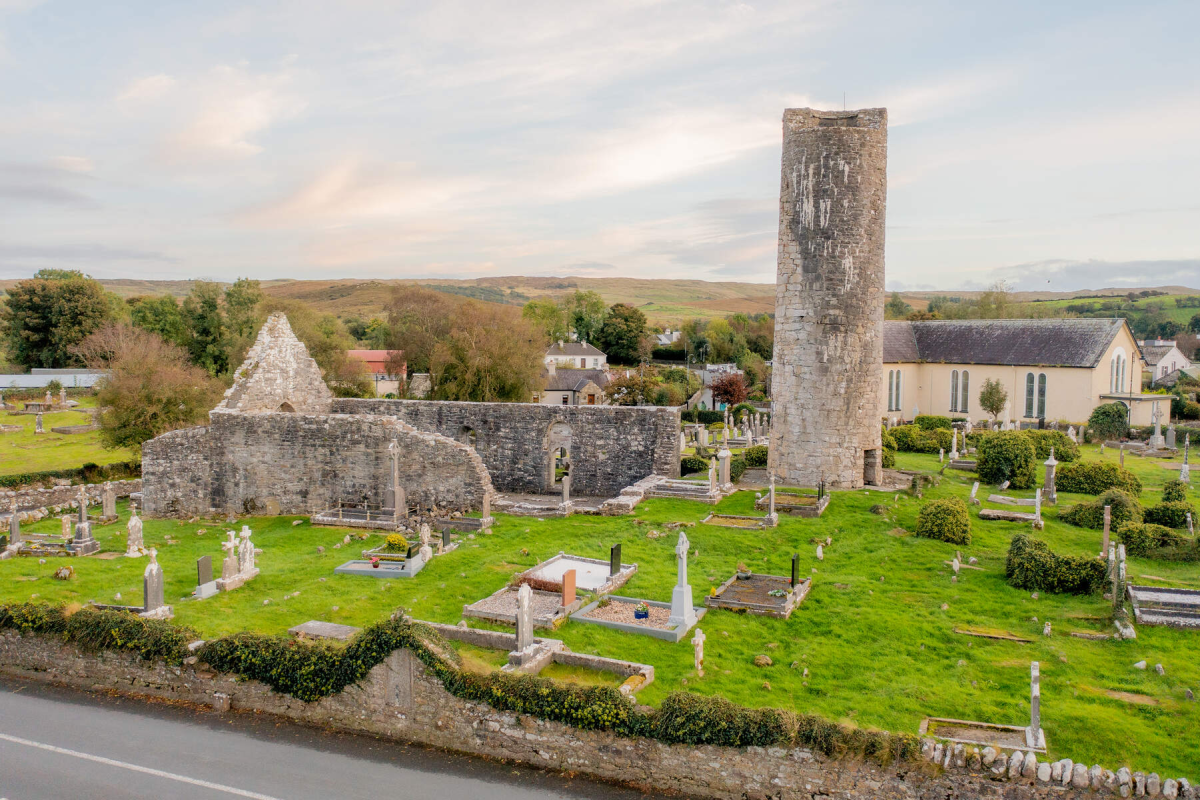 Tober EnainHoly well · 1740 yd
 Church in CartroncoraghChurch · 1.1 mi
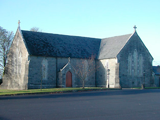 Catholic Church of the Immaculate Conceptionchurch/chapel · 1.2 mi
 CastleCastle, motte and bailey · 1.3 mi
 IndicatedCastle, unclassified · 1.7 mi
 Noughaval CemeteryArchaeological place · 2.0 mi
 European BeechEuropean Beech · 3.4 mi
 Guest ServicesVisitor information · 4.4 mi
 Craft WorkshopHeritage attraction · 4.4 mi
 Target WoodWood · 4.6 mi
 Newcastle WoodsForest · 4.8 mi