What is recorded here
Half buried in a field bank and ringing with rush grass, the Kilcoosy fort still marks a chosen place on the drumlin slope. People shaped that circle before written memory, perhaps keeping livestock or claiming land under open sky. The fairies may have taken it back, but human hands built the ring first.
Located in a slight fold towards the top of the N-facing slope of an E-W drumlin ridge. This is a grass and rush-covered circular area (int. diam. 23.7m N-S; 22.6m E-W) defined by a grass-covered earthen bank (Wth 3-3.5m; int. H 0.1m; ext. H 0.6-0.7m) which is incorporated into a field bank SE-SW, and an external fosse (Wth 2m) defined by rush growth SW-N-E. The entrance (Wth 2m) is at NE.
The above description is derived from 'The Archaeological Inventory of County Leitrim' compiled by Michael J. Moore (Dublin: Stationery Office, 2003). In certain instances the entries have been revised and updated in the light of recent research.
Date of upload: 23 September 2008
The monument record does not grant public access. Check the route and ask the landowner before entering private land.
- What survives
- Recorded monument
Places near here
 Green IslandIslet · 948 yd
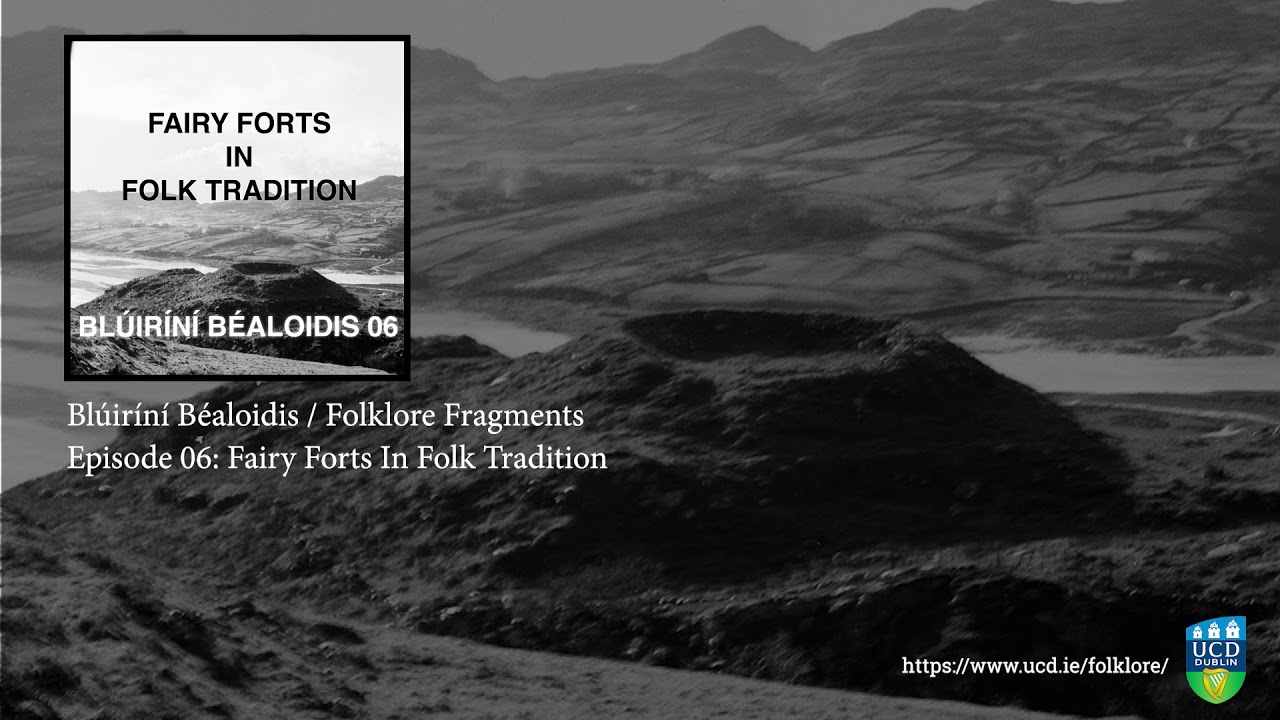 Fairy fort / earthen ringfort in SocksFairy fort / earthen ringfort · 1076 yd
 IndicatedFairy fort / earthen ringfort · 1108 yd
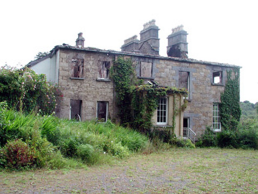 Drumlease Glebe Houserectory/glebe/vicarage/curate's house · 1588 yd
 Kilcoosey National Schoolschool · 1.2 mi
 Old HallCastle, hall-house · 2.0 mi
 Doonbran Isd.Bawn · 3.1 mi
 BenboMountain / peak · 3.3 mi
 Cullentra ForestForest · 3.4 mi
 Parke's CastleHeritage attraction · 3.4 mi
 Trawane BayBay · 3.9 mi
 InnisfreeIslet · 4.0 mi