What is recorded here
Fairy fort in Kilcoon, County Leitrim: a grass-covered subtriangular enclosure about 42m E-W and 33m N-S, bounded by a northern scarp 6m wide and 1.6m high, a thinner eastern scarp, and a canalized stream at the west. It appeared as a fort on the 1835 OS map and as a subcircular feature in 1907, though no entrance or fosse remains visible. People may have lived there, herded there, or simply avoided the wet ground around it; the earth keeps that much to itself.
Situated on flat low-lying ground with a SW-NE section of a canalized stream just to the NW. It is depicted as an embanked enclosure (ext. diam. c. 30m) described in gothic lettering as a 'fort' on the 1835 edition of the OS 6-inch map where the stream is irregular but runs W-E. It is depicted as a subcircular hachured feature (diam. c. 40m) on the 1907 edition where the stream runs SW-NE. This is a grass-covered subtriangular area (dims 42m E-W; 33m N-S) defined by a scarp at N (Wth 6m; H 1.6m) and E (Wth 1.5m; H 0.8) and by the stream at W. There is no visible fosse or original entrance.
The above description is derived from 'The Archaeological Inventory of County Leitrim' compiled by Michael J. Moore (Dublin: Stationery Office, 2003). In certain instances the entries have been revised and updated in the light of recent research.
Date of upload/revision: 13 December 2011
The monument record does not grant public access. Check the route and ask the landowner before entering private land.
- What survives
- Recorded monument
Places near here
 Not indictedSweathouse · 655 yd
 IndicatedFairy fort / earthen ringfort · 1067 yd
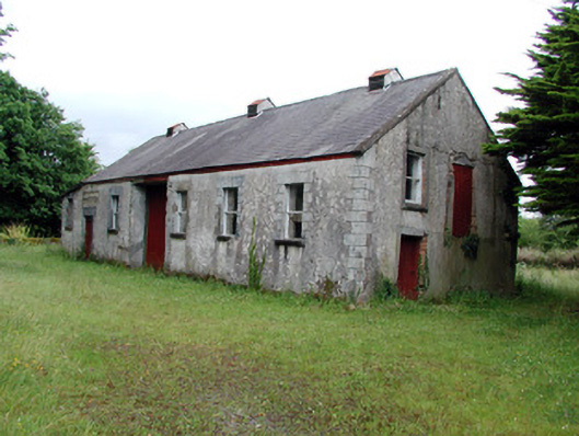 Dromahair Creamerycreamery · 1164 yd
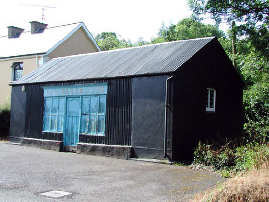 W.H. Parke and Sonshop/retail outlet · 1164 yd
 Old HallCastle, hall-house · 1.7 mi
 Green IslandIslet · 2.4 mi
 MoteCastle, motte · 3.1 mi
 Cullentra ForestForest · 3.7 mi
 Trawane BayBay · 4.3 mi
 InnisfreeIslet · 4.4 mi
 Parke's CastleHeritage attraction · 4.5 mi
 SlishwoodWood · 5.0 mi