What is recorded here
Kilcoolaght West once held a circular earthen fort on a gentle slope above Glasheenasheefree stream, but pasture and time erased every visible trace. The land still belongs to people, yet the fort vanished into grass and memory. What remains is a ghost shape in the valley, waiting for rain or foottraffic to reveal whether it was home, shrine or boundary.
There are no visible remains of the circular enclosure marked at this location on the first edition of the OS map. It was sited on a gentle NW facing slope a short distance W of Glasheenasheefree stream, a tributary of the Laune. The land in the immediate vicinity is now devoted to pasture.
The above description is derived from A. O'Sullivan and J. Sheehan (compilers), 'The Iveragh peninsula: an archaeological survey of South Kerry'. Cork University Press (1996), no. 822. In certain instances the entries have been revised and updated in the light of recent research.
Date of upload: 29 July 2013
This remains an important historical record, but the official description says the monument is no longer visible or has been destroyed. The monument record does not grant public access. Check the route and ask the landowner before entering private land.
- What survives
- No visible remains or recorded as destroyed
Places near here
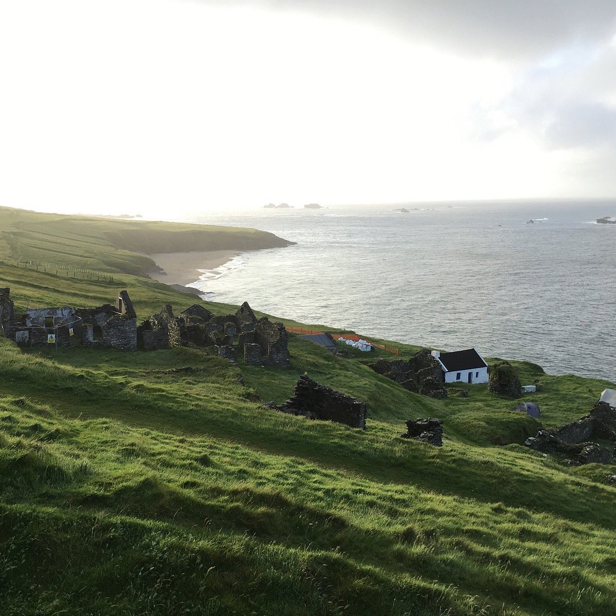 Lisbeg (Site of)Fairy fort / earthen ringfort · 175 yd
 ListoorleaFairy fort / earthen ringfort · 474 yd
 KnockbrackMountain / peak · 2.6 mi
 Dungeel Church (in Ruins)Church · 2.6 mi
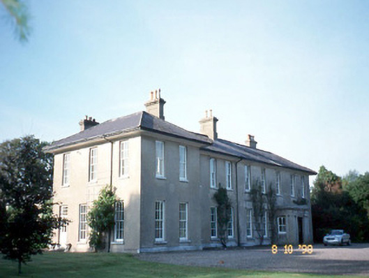 The Reekscountry house · 2.7 mi
 King Puck statueMemorial · 2.8 mi
 CastleCastle, tower house · 2.8 mi
 Ballymalis Castle (in ruins)Castle, tower house · 3.0 mi
 KnockroeMountain / peak · 3.3 mi
 Cloon IslandIsland · 3.4 mi
 Clash IslandIslet · 3.7 mi
 Devil's Ladder RouteWalking route · 4.4 mi