What is recorded here
Fairy fort / earthen ringfort in Kilcommon More (south) is a fairy fort or earthen ringfort in Kilcommon More (south), County Tipperary, Ireland. It occupies the flat crest of a low ridge in gently undulating pastureland. A roughly circular area, 42.5 metres across from northwest to southeast, is enclosed by a low earthen and stone bank. The bank measures 1.2 metres wide at the crest, 2.25 metres wide at the base, 0.35 metres high inside and 0.68 metres high outside.
On the flat crest of a low ridge in gently undulating pastureland. Roughly circular area (diam. 42.5m NW-SE; no other diam. possible) enclosed by a low earthen and stone bank (Wth 1.2m crest, 2.25m base; int. H 0.35m; ext. H 0.68m). Just over half the ringfort in the SW sector is densely overgrown with scrub, the remainder of the monument is under grass with a large oak tree on the bank in the N quadrant. Part of the bank and the interior has been degraded by cattle. The interior slopes to the SW.
Compiled by: Jean Farrelly
Date of upload: 26 August 2011
The monument record does not grant public access. Check the route and ask the landowner before entering private land.
- What survives
- Recorded monument
Places near here
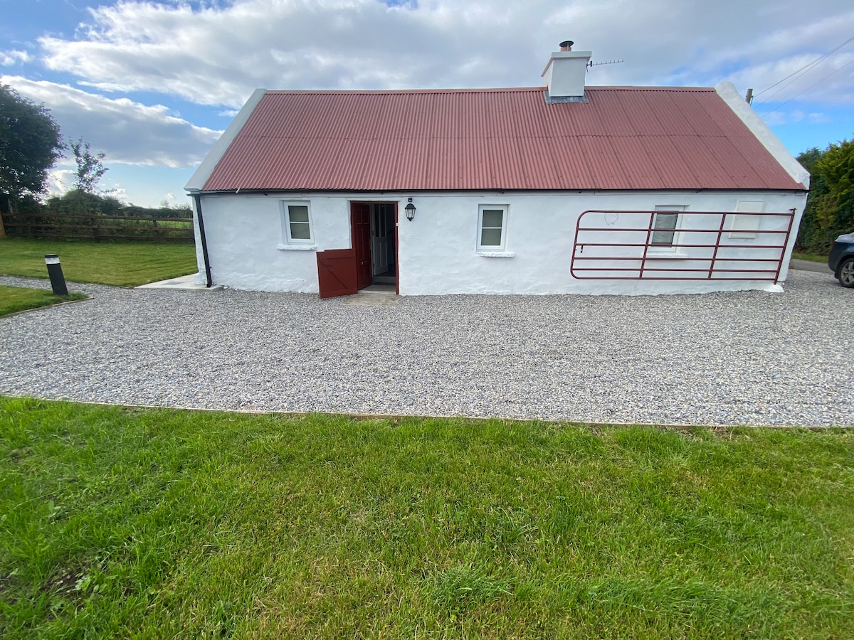 Enclosure in Kilcommon More (south)Enclosure · 479 yd
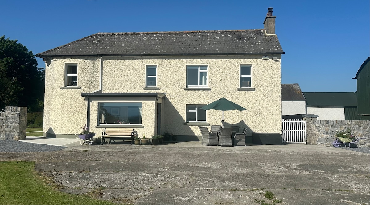 Enclosure in Kilcommon More (north)Enclosure · 1240 yd
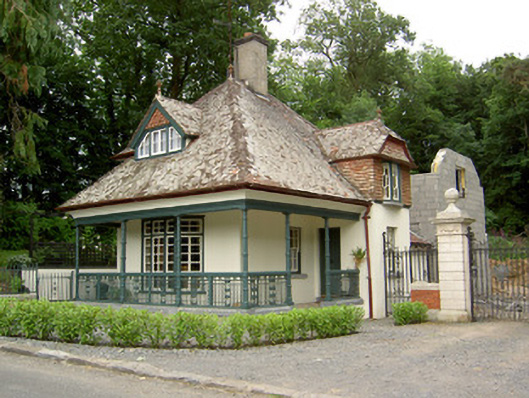 Ballybrada Housegate lodge · 1267 yd
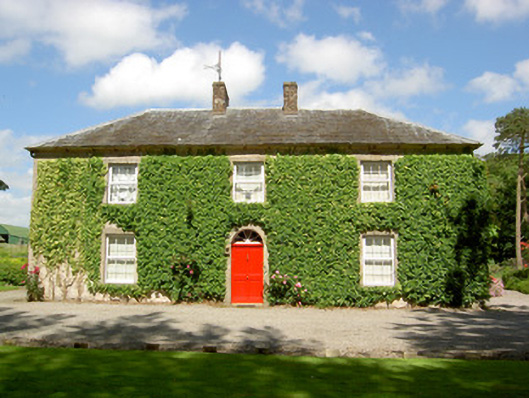 Farmly Househouse · 1385 yd
 Pedunculate OakPedunculate Oak · 1402 yd
 Cottagehill WoodForest · 1645 yd
 Roosca CastleCastle · 1.3 mi
 Bawn in RochestownBawn · 2.0 mi
 Cahir CastleHeritage attraction · 2.0 miSiege of Cahir Castlesiege · 2.2 mi
 Woodcock HillMountain / peak · 2.2 mi
 Caher AbbeyHeritage attraction · 2.4 mi