What is recorded here
Kilcolumb holds a well-preserved earthen ringfort, measuring 46 metres north-south and 43 metres east-west, with a southern entrance 3.4 metres wide. The bank of earth and stone rises above an external fosse in level grassland, shaping a boundary that still reads as deliberate and unbroken. People may have lived, argued, hidden or worshipped inside that circle before the land forgot their names. The fort remains visible enough to walk around, judge with your feet and imagine without inventing facts.
In level grassland. Well-preserved sub-circular rath (N-S 46m, E-W 43m) defined by a bank of earth and stone and an external fosse. There is an entrance (Wth 3.4m) at S.
The above description is derived from the published 'Archaeological Inventory of County Galway Vol. II - North Galway'. Compiled by Olive Alcock, Kathy de hÓra and Paul Gosling (Dublin: Stationery Office, 1999).
Date of upload: 05 August 2010
The monument record does not grant public access. Check the route and ask the landowner before entering private land.
- What survives
- Recorded monument
Places near here
 St. Columbs WellHoly well · 756 yd
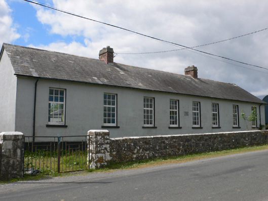 Toberroe National Schoolschool · 1.6 mi
 Lorettohouse · 1.7 mi
 Enclosure in Newtown (ballymoe By.)Enclosure · 1.9 mi
 Site of Killomaine Grave YardArchaeological place · 2.6 mi
_-_geograph.org.uk_-_1952978.jpg?width=1280) Bawn in Glinsk (ballymoe By.)Bawn · 2.9 mi
Bawn in Glinsk (ballymoe By.)Bawn · 2.9 mi Rook HillMountain / peak · 3.5 mi
 CastleCastle, unclassified · 3.8 mi
 Mount MaryMountain / peak · 5.2 mi
 HawthornHawthorn · 6.8 mi
 Sally IslandIslet · 7.3 mi
 European ashEuropean ash · 7.8 mi