What is recorded here
Fairy forts are human homes renamed by fear, and Kilcolman is no different: a roughly circular earthen ring on a gentle slope facing the river valley. Its bank still stands nearly two metres high on the south and west, while cattle and centuries have worn the north flatter. The small break at the south-east may have been a doorway, a collapse, or simply the place where the field changed shape. Whatever it was, the ring enclosed life, and the valley still holds the shape of that choice.
In pasture, on gentle E-facing slope into river valley. Roughly circular area (29.9m N-S; 32m E-W) enclosed by earthen bank (int. H 1.9m; ext. H 2.45m). Bank is best preserved S->W, but lowers W->N (ext. H 1.45m). Break in bank (Wth 1.8m) at SSE. Interior, under pasture but with bushes growing along verge N->W, slopes down gently to E.
Compiled by: Denis Power
Date of upload: 26 August 2011
The monument record does not grant public access. Check the route and ask the landowner before entering private land.
- What survives
- Recorded monument
Places near here
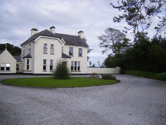 The Presbyteryhouse, presbytery/parochial/curate's house · 609 yd
 Mound in Corbally (shanid By.)Mound · 803 yd
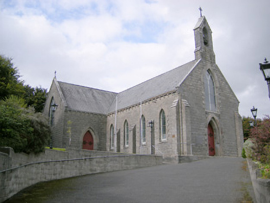 Saint Colman's Catholic Churchchurch/chapel · 826 yd
 Fulacht fia in CarronsFulacht fia · 993 yd
 Castle (in ruins)Castle, tower house · 1.4 mi
 Site of CastleCastle, unclassified · 1.4 mi
 St. Luke's WellSpring · 2.6 mi
 St. Kieran's WellSpring · 3.7 mi
 Foynes Flying Boat & Maritime MuseumMuseum · 5.0 mi
 Monterey CypressMonterey Cypress · 5.3 mi
 Gammarel PointHeadland · 5.4 mi
 Askeaton CastleHeritage attraction · 6.2 mi