What is recorded here
Magic is not required to explain the steep north-facing slope where two earthen rings touched before a field boundary cut them apart. The main enclosure measures twenty-point-eight by twenty-two-and-a-half metres, keeps a shallow outside ditch, and still shows a stronger bank from west-southwest to northwest. cattle may have grazed above it for centuries while people forgot the shape beneath the grass.
In pasture, on steep N-facing slope. Sub-circular area (20.8m N-S; 22.5m E-W) enclosed by earthen bank, with external fosse (Wth 2.1m; D 0.2m) WSW->NNW. Bank (int. H 0.8m; ext. H 1.45m), best preserved WSW->NW, lowers to scarped edge NNW->NNE (H 0.3m; Wth 2m). External bank face is directly against E-W field boundary SE->S. Interior, under pasture, slopes down to N. Another ringfort (LI019-18601-) lies immediately to SW and was probably conjoined to this enclosure before construction of field boundary between them.
Compiled by: Denis Power
Date of upload: 26 August 2011
The monument record does not grant public access. Check the route and ask the landowner before entering private land.
- What survives
- Recorded monument
Places near here
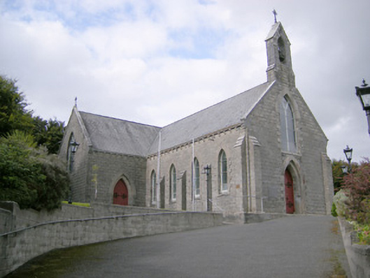 Saint Colman's Catholic Churchchurch/chapel · 160 yd
 Kilcolman Church (in ruins)Church · 241 yd
 Mound in KnockbweeheenMound · 649 yd
 Mound in Corbally (shanid By.)Mound · 969 yd
 Castle (in ruins)Castle, tower house · 1.3 mi
 Shanid CastleCastle · 1.8 mi
 St. Luke's WellSpring · 2.4 mi
 St. Kieran's WellSpring · 3.7 mi
 Monterey CypressMonterey Cypress · 5.6 mi
 Gammarel PointHeadland · 5.8 mi
 Limerick GreenwayWalking route · 5.9 mi
 Askeaton CastleHeritage attraction · 6.5 mi