What is recorded here
Kilcloony holds a broken D-shaped ringfort on a grassy ridge, its twin banks and central ditch still marking a boundary that ordinary farming has failed to erase. Local tradition whispers of a chambered tomb hidden inside, suggesting the fort guarded more than livestock or family pride. Perhaps people built there because the land already felt occupied, layering human walls around an older presence they could not name.
On a ridge summit in grassland. Poorly preserved D-shaped rath (E-W 30m, N-S25.5m) defined by two banks and an intervening fosse. The inner bank is present from NE through S to SWand is overlain by a field bank from NE to SE. Theouter bank survives from SE to WSW and from W toNE. Local tradition of a CBG (GA016-059001-) within the interior.
The above description is derived from the published 'Archaeological Inventory of County Galway Vol. II - North Galway'. Compiled by Olive Alcock, Kathy de hÓra and Paul Gosling (Dublin: Stationery Office, 1999).
Date of upload: 05 August 2010
The monument record does not grant public access. Check the route and ask the landowner before entering private land.
- What survives
- Recorded monument
Places near here
 Enclosure in Kilcloony (clonmacnowen By.),quarrymountEnclosure · 613 yd
 Cross in Kilcloony (dunmore By.)Cross · 1004 yd
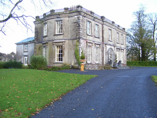 Quarrymount Househouse · 1050 yd
 Bawn in Kilcloony (dunmore By.)Bawn · 1255 yd
 IndicatedHouse, indeterminate date · 1.6 mi
 Site of Doonbally CastleCastle, unclassified · 1.7 mi
 European ashEuropean ash · 4.2 mi
 Mass RockNamed rock · 5.8 mi
 KnockmaaWood · 9.1 mi
 Field system in Clashaganny (dunmore By.),kilphrasogaField system · 1.1 mi
 Enclosure in Grange (doonbally Ed)Enclosure · 1.3 mi
 Enclosure in Dawros LowerEnclosure · 1.4 mi