What is recorded here
No visible trace remains at Kilcloher, though ancient hands may have raised an earthen ring there before memory faded. The lost fort likely served as a defensive home or marker for a small community, its boundary now erased by time or later field work. What is absent becomes a question rather than a display, inviting imagination to fill the gap left behind.
The Archaeological Survey of Ireland (ASI) is in the process of providing information on all monuments on The Historic Environment Viewer (HEV). Currently the information for this record has not been uploaded. To access available information for research purposes please make an appointment in advance with the Archive Unit (open Fridays 10.00 am – 5.00 pm), Department of Housing, Local Government and Heritage, The Custom House, Dublin 1 D01W6XO or email NMarchive@housing.gov.ie.
The monument record does not grant public access. Check the route and ask the landowner before entering private land.
- What survives
- Recorded monument
Places near here
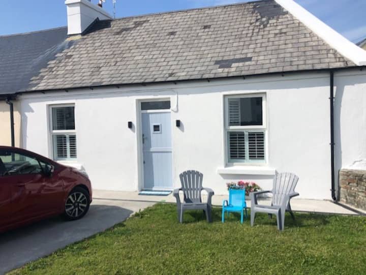 LisguineFairy fort / earthen ringfort · 398 yd
 LisroeFairy fort / earthen ringfort · 614 yd
 Kilcloher HeadHeadland · 837 yd
 Grave of the Yellow MenMemorial · 1628 yd
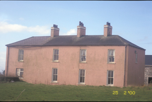 Kilballyowen Househouse · 1.9 mi
 Cloghaunsavaun Castle (Site of)Castle, unclassified · 2.0 mi
 Morven AnchorMemorial · 2.0 mi
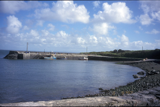 pier/jettypier/jetty · 2.0 mi
 Bridges of RossVisitor information · 2.6 mi
 Bridge of RossViewpoint · 2.9 mi
 Tullig PointHeadland · 3.0 mi
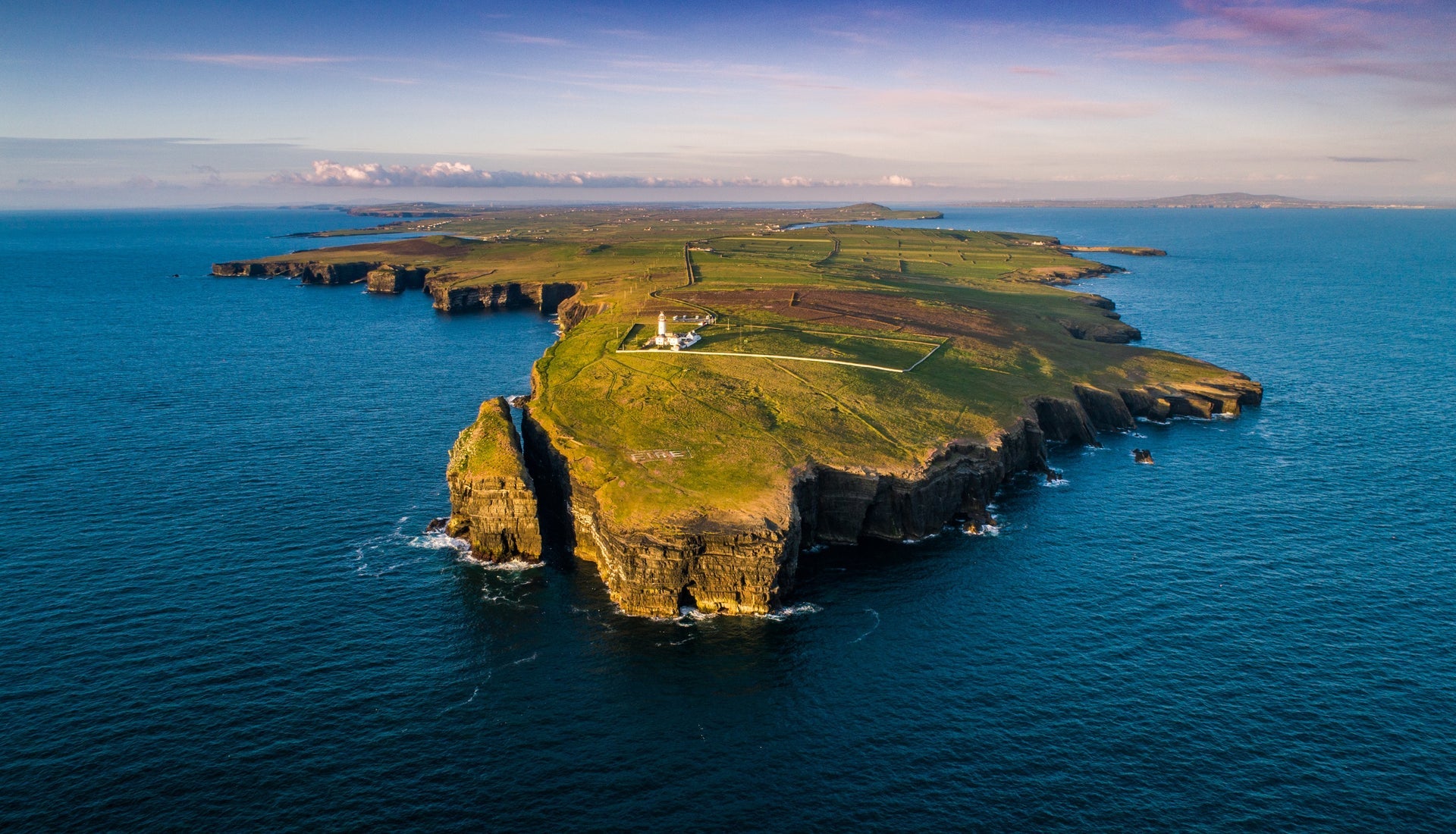 Loop HeadVisitor information · 5.0 mi