What is recorded here
Located in a level landscape with a small W-E stream c. 50m to the N. The cropmark of two concentric fosse features (int. diam. c. 48m; ext. diam. c. 80m), the inner wider than the outer, is visible on aerial photograph (CUCAP, BOD 48). There is an entrance through both features at E.
The above description is derived from the published 'Archaeological Inventory of County Wexford' (Dublin: Stationery Office, 1996). In certain instances the entries have been revised and updated in the light of recent research.
Compiled by: Michael Moore
Date of upload/revision: 4 February 2014
The monument record does not grant public access. Check the route and ask the landowner before entering private land.
- What survives
- Recorded monument
Places near here
 Not inidcatedBawn · 330 yd
 ToberlukeHoly well · 592 yd
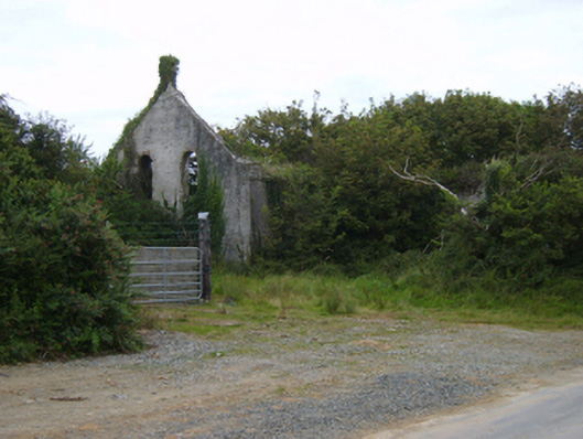 Templetown Catholic Chapelchurch/chapel · 947 yd
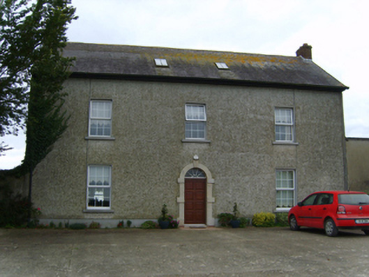 Air Hillfarm house · 969 yd
 Enclosure in LewistownEnclosure · 1200 yd
 IndicatedCastle, ringwork · 1352 yd
 Templetown Bay BeachBeach / strand · 1632 yd
 Dollar Bay BeachBeach / strand · 1669 yd
 Carricjmore CliffCliff · 1.5 mi
 AshgroveVisitor information · 1.9 mi
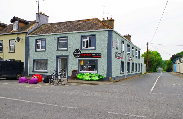 Hook Tourism (Fethard Office)Visitor information · 2.0 mi
 Baginbun HeadHeadland · 2.6 mi