What is recorded here
Kilclare Upper once held a thirty-five-metre earthen ring on the south bank of the Bride river, visible only on the 1842 map before ploughs and time erased it. The loss is not empty; it is a reminder that human hands shaped the pasture, made boundaries, and left marks that measurement can still recover. The fort disappeared, but the act of building remains written in the land.
On level pasture, at S side of Bride river. Depicted as circular enclosure (diam. c. 35m) on 1842 OS 6-inch map. Levelled; no visible surface trace.
The above description is derived from the published 'Archaeological Inventory of County Cork. Volume 2: East and South Cork' (Dublin: Stationery Office, 1994). In certain instances the entries have been revised and updated in the light of recent research.
Date of upload/revision: 14 January 2009
The monument record does not grant public access. Check the route and ask the landowner before entering private land.
- What survives
- Recorded monument
Places near here
 Fulacht fia in Kilclare UpperFulacht fia · 338 yd
 Aghern CemeteryWood · 1046 yd
 Grave YdGraveyard · 1074 yd
 Saint James' Churchhchurch/chapel · 1186 yd
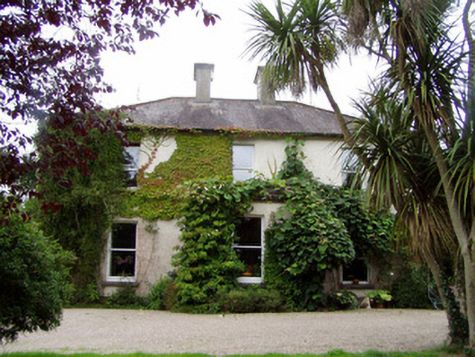 Conna Househouse · 1247 yd
 Aghern CastleCastle · 1471 yd
 Conna Castle (in Ruins)Castle, tower house · 1.4 mi
 Castlebrook forestWood · 1.6 mi
 Graveyard in Curraheen (kinnatalloon By.)Graveyard · 2.1 mi
 Coole WellVisitor information · 3.2 mi
 Natural heritage of CoolagowanVisitor information · 3.4 mi
 Graveyard in KillasseraghGraveyard · 3.7 mi