What is recorded here
Kilbronoge is a circular earthen fort, thirty-eight metres across, with a low bank and a narrow ditch on its outer edge. It sits on a sloping pasture where cattle still walk, and the land inside once carried faint cultivation ridges. People may have lived there, tended fields, or simply marked the boundary between the ordinary world and the strange one the fairies inhabit. The fort does not need a name or a date to be real. It is a shape the earth remembered, and the fairies still call home.
In pasture, on ENE-facing slope. Circular area (38m N-S; 38m E-W) defined by earthen bank (H 0.8m) SW->NNE, with external fosse (D 0.6m); low rise (H 0.5m) NNE->SW, with shallow external fosse (D 0.3m). Possible gap to NNE (Wth 5m). Faint trace of cultivation ridges crossing interior on N-Saxis.
The above description is derived from the published 'Archaeological Inventory of County Cork. Volume 1: West Cork' (Dublin: Stationery Office, 1992). In certain instances the entries have been revised and updated in the light of recent research.
Date of upload/revision: 14 January 2009
The monument record does not grant public access. Check the route and ask the landowner before entering private land.
- What survives
- Recorded monument
Places near here
 Wedge tomb in CappaghnacalleeWedge tomb · 836 yd
 Stouke Grave YardGraveyard · 1438 yd
 RC Chapel (in Ruins)Church · 1.3 mi
 Rossbrin CastleCastle · 1.4 mi
 bridgebridge · 1.4 mi
 Bawn in ArdintenantBawn · 1.8 mi
 Danno O’Mahony statueMemorial · 1.8 mi
 Ballydehob HarbourVisitor information · 1.8 mi
 The 12-Arch Railway ViaductVisitor information · 1.8 mi
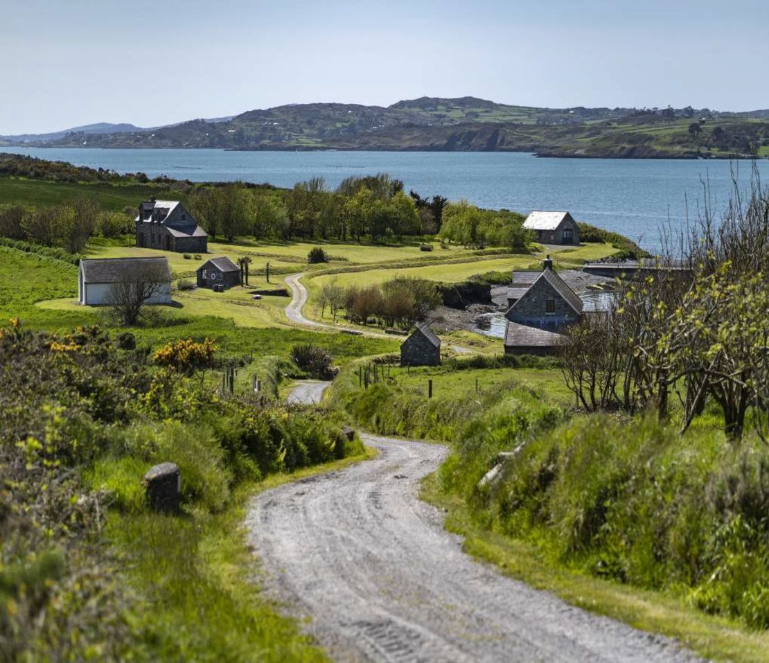 Horse IslandIsland · 2.1 mi
 Cadogan's StrandHeritage attraction · 2.2 mi
 Mount GabrielMountain / peak · 2.4 mi