What is recorded here
On a slight NE facing slope in undulating countryside. Roughly circular-shaped area (diam. 31m N-S; 36m E-W) defined by a low earthen bank best preserved from W-N-NE, with slight remains of an external fosse best preserved from NE-E, no entrance feature visible. The enclosing element of the ringfort has been defaced at SW by a post-1700 field boundary running NE-SW which intersects the monument from S-SW. Depicted as an antiquity and annotated as ‘Fort’, on the 1818 Boyd Belvedere Map of Kilbrennan townland (WCL/M/BBE/6).
Compiled by: Caimin O’Brien
Date of upload: 31 July 2013
The monument record does not grant public access. Check the route and ask the landowner before entering private land.
- What survives
- Recorded monument
Places near here
 OutlinedEnclosure · 571 yd
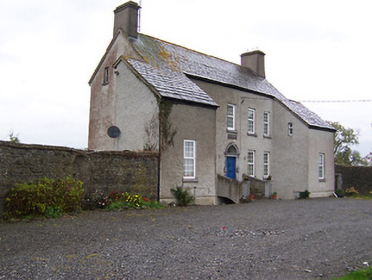 West Househouse · 1281 yd
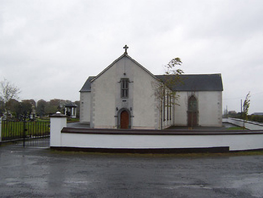 Catholic Church of the Sacred Heartchurch/chapel · 1745 yd
 Ecclesiastical enclosure in CastlelostEcclesiastical enclosure · 1755 yd
 Castlelost MoatCastle, motte and bailey · 1.1 mi
 CastleCastle, tower house · 1.4 mi
 Mollie Moo's Pet FarmHeritage attraction · 3.3 mi
 Blind IslandIslet · 3.6 mi
 Dysart IslandIsland · 4.0 mi
 Derrygreenagh HillMountain / peak · 4.5 mi
 Knockdrin HillMountain / peak · 5.5 mi
 Ardan WoodWood · 5.8 mi