What is recorded here
Marked only on the 1925 ed. of the OS 6-inch map, it is situated on a broad plateau with a slight S-facing slope. This is a circular area (diam. 33-34m) in mixed woodland defined by an earthen bank (Wth 5-8m; int. H 0.5m; ext. H 1.2-1.8m) with a complete fosse (Wth 6.3-7.7m; D 0.4m at W to 1.1-1.3m generally), and a slight outer bank (Wth 5.5m; ext. H 0.5m) NW-NE that may be a secondary feature. A berm (Wth 4.5m) separates the fosse from a slight outer bank (at W: Wth 5m; int. H 0.5m; ext. H 2.2m) and an outer fosse (at W: Wth of top 6.8m; ext. D 0.7m) that survives SSW-WNW. The entrance and causeway (Wth 3.5m) through both original banks is at SSW. Archaeological monitoring (15E0412) of a gas pipeline c. 20m to the W in Area 9 produced no related material (Sutton 2018; excavations.ie 2015:422).
The above description is derived from the published 'Archaeological Inventory of County Wexford' (Dublin: Stationery Office, 1996). In certain instances the entries have been revised and updated in the light of recent research.
Compiled by: Michael Moore
Date of upload: 19 February, 2013
Amended: 19 October 2020
The monument record does not grant public access. Check the route and ask the landowner before entering private land.
- What survives
- Recorded monument
Places near here
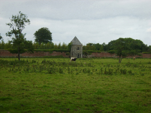 Abbey Villebuilding misc · 547 yd
 Ladys WellHoly well · 730 yd
 Abbey (Site Of)Ruins · 774 yd
 IndicatedStructure · 879 yd
 CastleCastle, unclassified · 1509 yd
 Bawn in Boley (shelburne By.)Bawn · 1.6 mi
 Carrickbyrne HillMountain / peak · 4.0 mi
 Coolcliffe HouseRuins · 4.4 mi
 SlievecoiltiaMountain / peak · 4.5 mi
 Devon whitebeamDevon whitebeam · 5.1 mi
 Campile WWII Bombing MemorialMemorial · 5.2 mi
 Kelly's WoodForest · 6.3 mi