What is recorded here
Marianne and Denis walked the hidden ring at Kilbradran, touching a limestone edge that still cuts the earth like a knife. The fort is small enough to circle in minutes yet old enough to make human life feel like a temporary guest. Heris iru, said Marianne, not praise but recognition. The castle is not the same as the chamber, but both are chambers.
In wooded area, on SE-facing slope immediately below brow of limestone ridge. Oval area (41.7m N-S; 34.8m E-W) enclosed by earth-and-stone bank (int. H 0.6m; ext. H 1m), best preserved SSE->WSW, but completely obscured by overgrowth N->NE. Bank incorporates limestone bedrock W->N with a sharp drop to interior (int. H 1.1m; ext. H 0.75m); it has been worn down by cattle to a scarp-like edge NE->S (H 0.85m; Wth 1.6m). Dry-stone field wall runs tangentially to enclosing bank at S. Interior, covered with mature deciduous trees, slopes down gently to E. Degraded earth-and-stone field boundary abuts enclosure at W.
Compiled by: Denis Power
Date of upload: 26 August 2011
The monument record does not grant public access. Check the route and ask the landowner before entering private land.
- What survives
- Recorded monument
Places near here
 Children's burial ground in TubbridChildren's burial ground · 504 yd
 post boxpost box · 985 yd
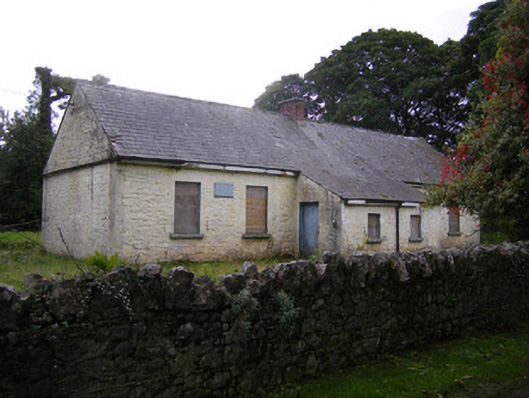 Nutgrove National Schoolschool · 1000 yd
 Enclosure in LisbaneEnclosure · 1079 yd
 CastleCastle, unclassified · 1.1 mi
 Site of CastleCastle, unclassified · 1.3 mi
 St. Luke's WellSpring · 3.1 mi
 St. Kieran's WellSpring · 3.1 mi
 Askeaton CastleHeritage attraction · 4.1 mi
 Holly IslandIslet · 4.5 mi
 Foynes Flying Boat & Maritime MuseumMuseum · 5.0 mi
 Gammarel PointHeadland · 5.2 mi