What is recorded here
Kilblaffer holds a thirty-five metre earthen ring on a south-facing slope, its interior raised against the hill and once crowded with fir trees. People called it a fairy fort, perhaps because the trees made the dark inside feel occupied or because humans stopped asking questions when the shape resisted ordinary use. It is pasture now, but the bank still stands tall enough to touch and large enough to walk around without leaving the field.
In tillage, on S-facing slope. Circular area (diam. 35.5m) defined by earthen bank (max. ext. H c. 1.5m). Interior raised on S side to compensate for hillslope; once planted with 'fir trees' (Hartnett 1939, 234); now under pasture.
The above description is derived from the published 'Archaeological Inventory of County Cork. Volume 3: Mid Cork' (Dublin: Stationery Office, 1997). In certain instances the entries have been revised and updated in the light of recent research.
Date of upload/revision: 14 January 2009
The monument record does not grant public access. Check the route and ask the landowner before entering private land.
- What survives
- Recorded monument
Places near here
 Burial ground in KilblafferBurial ground · 661 yd
 Grave YdGraveyard · 1048 yd
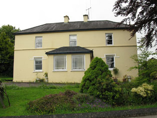 Greenhall Acresfarm house · 1469 yd
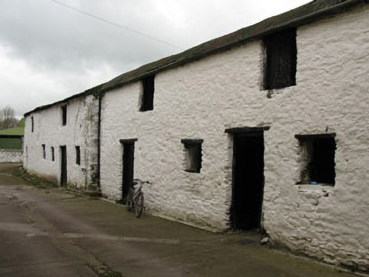 Meeshal Houseoutbuilding · 1733 yd
 Carrignamuck Tower HouseCastle · 1.3 mi
 Ballyanly Inniscarra Slí na SláinteWalking route · 2.2 mi
 Oldcastle WoodWood · 2.4 mi
 Bob AdamsMemorial · 2.5 mi
 Coachford Greenway (End)Visitor information · 2.6 mi
 Farran WoodWood · 3.0 mi
 Castle Inch (in Ruins)Castle, tower house · 3.1 mi
 Iniscarra Dam ViewViewpoint · 3.7 mi