What is recorded here
Kilberrihert in duhallow By. held a circular earthen fort roughly forty-five metres across, visible on maps from 1842 to 1937 before ploughing erased it. Bowman measured a five-foot bank and raised interior in 1934, suggesting people lived there long before the field swallowed the trace. The fairies kept the fort only in name; human hands built, used and lost it.
In pasture, on NNW-facing slope. Depicted as hachured circular enclosure (diam. c. 45m) on 1842, 1905 and 1937 OS 6-inch maps. Levelled; no visible surface trace. Described by Bowman (1934, 628) as single ramparted fort (diam. 38yd) on Mr Bresnahan's land, with bank c. 5ft H, fosse infilled and interior c. 2ft higher than surrounding field.
The above description is derived from the published 'Archaeological Inventory of County Cork. Volume 4: North Cork' (Dublin: Stationery Office, 2000). In certain instances the entries have been revised and updated in the light of recent research.
Date of upload/revision: 14 January 2009
The monument record does not grant public access. Check the route and ask the landowner before entering private land.
- What survives
- Recorded monument
Places near here
 Fulachta FiadhFulacht fia · 545 yd
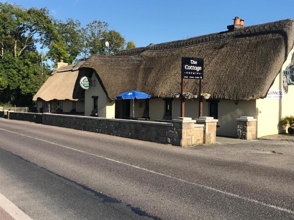 Man-made underground passage in FreemountMan-made underground passage · 952 yd
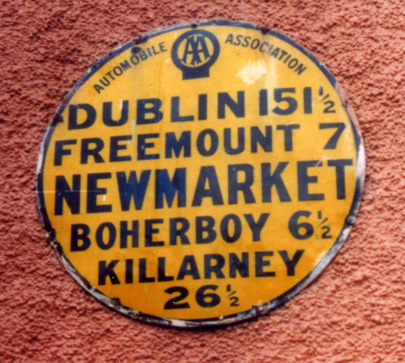 Church in FreemountChurch · 1017 yd
 St Johns Catholic ChurchChurch · 1688 yd
 Battle of LiscarrollMajor battlefield · 2.6 mi
 Liscarroll CastleCastle · 2.6 mi
 Castle (Site of)Castle, unclassified · 3.8 mi
 Stanner's Glen, Priory WoodWood · 4.8 mi
 Lady's WellSpring · 5.5 mi
 Burial ground in AssolasBurial ground · 6.5 mi
 European YewEuropean Yew · 6.5 mi
 Kanturk CastleHeritage attraction · 7.2 mi