What is recorded here
Kilbeg holds an oval earth and stone ring on a sunny NNE slope, enclosing two conjoined hut circles and a larger raised area. The boundary mixes ancient bank with field-like wall, preserving a domestic shape rather than a grand fortress. People may have lived, herded, or hidden there before the land became ordinary pasture. The fort still marks the edge between human memory and forgotten time.
In pasture, on NNE-facing slope. Oval area (28m N-S; 34m E-W) enclosed by earth and stone bank NW->ESE (H 1.6m); stone wall ESE->NW, similar to surrounding field fences. Gap in wall to SE (Wth 1.4m), now blocked with stones; recently widened gap to SW (Wth 2m). Two circular conjoined hut sites (CO143-005001-, CO143-005002-); circular raised area (diam. 8m SW-NE; 7.50m SE-NW; H 0.75m) abuts bank to SW; abutting raised area to NE, low stony circular bank (diam. 4m; ext. H 1.0m; int. H 0.4m).
The above description is derived from the published 'Archaeological Inventory of County Cork. Volume 1: West Cork' (Dublin: Stationery Office, 1992). In certain instances the entries have been revised and updated in the light of recent research.
Date of upload/revision: 14 January 2009
The monument record does not grant public access. Check the route and ask the landowner before entering private land.
- What survives
- Recorded monument
Places near here
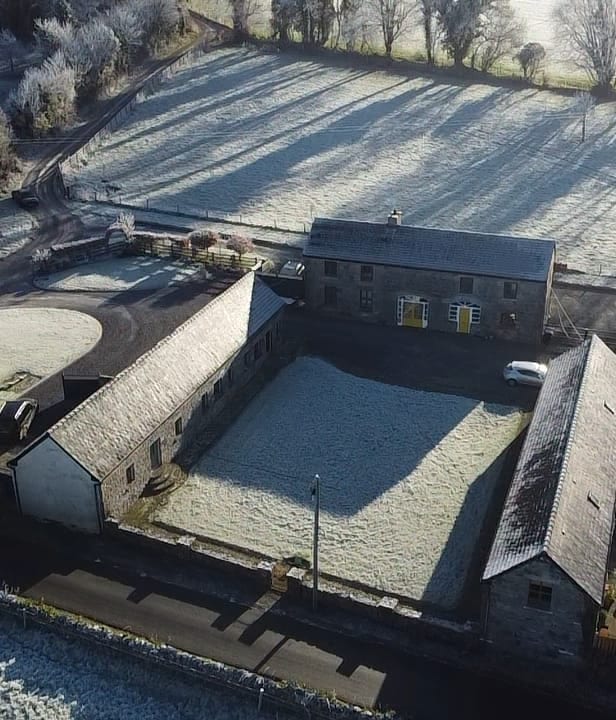 Burial ground in Kilbeg (carbery East (w.d) By.)Burial ground · 187 yd
 CairnCairn, radial-stone cairn · 250 yd
 Church of St. Fachtnachurch/chapel · 947 yd
 Drombeg Househouse · 1130 yd
 Walk 1 - Drombeg Standing Stone Circle (7 - 9 km)Walking route · 1284 yd
 Drombeg Fulacht Fia and RuinsVisitor information · 1577 yd
 Drombeg Stone CircleArchaeological place · 1582 yd
 Trá an tAonaighBeach / strand · 1.6 mi
 Cooks WoodWood · 1.7 mi
 Prison CoveBeach / strand · 1.8 mi
 Long PointHeadland · 1.8 mi
 Wild Atlantic WayVisitor information · 1.8 mi