
What is recorded here
Cairn is a radial-stone chamber in County Cork where fourteen stones still stick through a shallow circular mound. A cup-marked stone sits atop the heap while another standing stone waits ten metres to the northwest. The geometry suggests people placed rocks deliberately rather than dumping them in a pile.
On level terrace on N slope of low hill in rolling pasture. Fourteen radially-set stones protrude between 0.1m and 0.4m above the surface of a subcircular cairn (diam. c. 10m; H 0.5m). Cup-marked stone (CO143-097---) atop cairn. Cairn (CO143-002001-) with standing stone (CO143-00202-) at N edge, 10m to NW. (Roberts 1988, Ch. 2, no. 6)
The above description is derived from the published 'Archaeological Inventory of County Cork. Volume 1: West Cork' (Dublin: Stationery Office, 1992). In certain instances the entries have been revised and updated in the light of recent research.
Date of upload/revision: 14 January 2009
Radial-stone cairn, likely dating to the Neolithic or early Bronze Age. Its radial arrangement and presence of a cup-marked stone suggest ritual or ceremonial significance, typical of prehistoric funerary or ritual monuments in Ireland.
The monument record does not grant public access. Check the route and ask the landowner before entering private land.
- What survives
- Recorded monument
Places near here
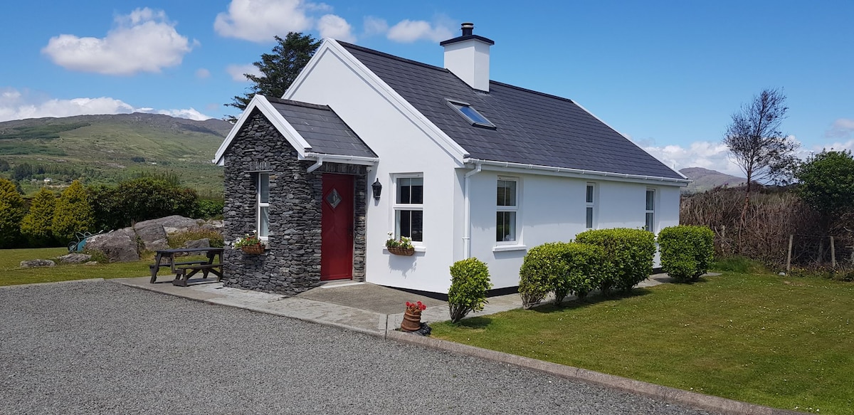 Hut site in Kilbeg (carbery East (w.d) By.)Hut site · 264 yd
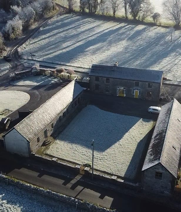 Burial ground in Kilbeg (carbery East (w.d) By.)Burial ground · 293 yd
 Church of St. Fachtnachurch/chapel · 1043 yd
 Country house in Drombeg (carbery E. (w.d.) By.)Country house · 1234 yd
 Walk 1 - Drombeg Standing Stone Circle (7 - 9 km)Walking route · 1259 yd
 Drombeg Fulacht Fia and RuinsVisitor information · 1682 yd
 Drombeg Stone CircleArchaeological place · 1697 yd
 Cooks WoodWood · 1.7 mi
 Trá an tAonaighBeach / strand · 1.7 mi
 Wild Atlantic WayVisitor information · 1.7 mi
 Long PointHeadland · 1.8 mi
 Myross PointHeadland · 1.8 mi
Other information
Photo: Credit not shown in the picture search · Rights wording not checked; contact us if this picture should be removed