What is recorded here
No amount of rain, ploughing or forgetting has removed the boundary. The earth remembers the shape of the fort even when the surface no longer shows it.
In pasture, on N-facing slope. Depicted as tree ring on 1842 OS 6-inch map. No visible surface trace. According to local information, an old man living in the area pointed to a clump of furze here and said that bad luck would come to any one who ploughed it.
The above description is derived from the published 'Archaeological Inventory of County Cork. Volume 4: North Cork' (Dublin: Stationery Office, 2000). In certain instances the entries have been revised and updated in the light of recent research.
Date of upload/revision: 14 January 2009
The monument record does not grant public access. Check the route and ask the landowner before entering private land.
- What survives
- Recorded monument
Places near here
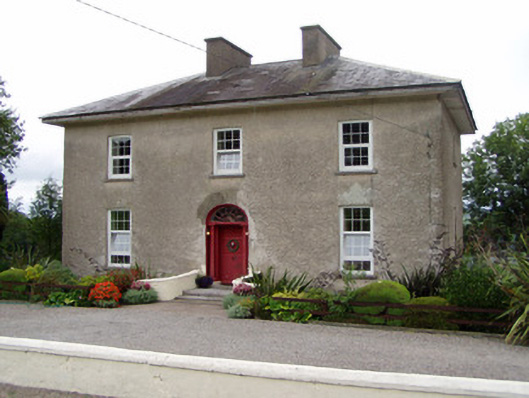 Kilbarry Househouse · 532 yd
 Natural heritage of CoolagowanVisitor information · 706 yd
 Life Space ParkPicnic place · 1124 yd
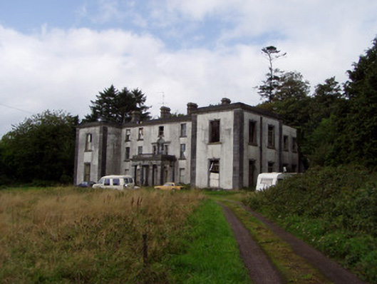 Kilmurry Housecountry house · 1534 yd
 Ballyclough Burial GdGraveyard · 1.1 mi
 Leitrim Castle (in Ruins)Castle, Anglo-Norman masonry castle · 2.0 mi
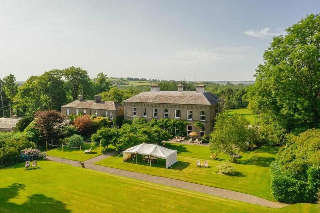 Hearth in Coole UpperHearth · 2.1 mi
 Saint Micheal's Holy WellSpring · 2.5 mi
 Licklash Castle (in Ruins)Castle, hall-house · 3.3 mi
 Strawhall WoodForest · 3.4 mi
 Ballybrack WoodForest · 3.9 mi
 Kent BridgeMemorial · 4.2 mi