What is recorded here
Kilbarry sits atop a hillock in West Cork, a roughly circular earthwork about twenty-eight metres across. Sharp scars cut its north, east and south edges while a lower bank and shallow ditch mark the west. Grass and brush still choke the centre, hiding whatever hands first shaped the soil. People may have lived there before forgetting the name, or the land may have simply raised itself into a room for ghosts.
In pasture, atop hillock. Roughly circular raised area (diam. c. 28m) defined by scarp to N, E and S; low bank to W (int. H 0.35m; ext. H 2.4m); shallow fosse to W. Interior heavily overgrown; slopes down from centre to NE.
The above description is derived from the published 'Archaeological Inventory of County Cork. Volume 1: West Cork' (Dublin: Stationery Office, 1992). In certain instances the entries have been revised and updated in the light of recent research.
Date of upload/revision: 14 January 2009
The monument record does not grant public access. Check the route and ask the landowner before entering private land.
- What survives
- Recorded monument
Places near here
 Man-made underground passage in Kilbarry (carbery East (w.d) By.)Man-made underground passage · 199 yd
 Poulacahera FortFairy fort / earthen ringfort · 881 yd
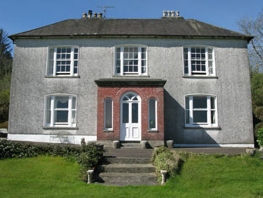 Manor Househouse · 1418 yd
 Woodbrookcountry house · 1.1 mi
 Castle (Site of)Castle, Anglo-Norman masonry castle · 1.5 mi
 Mohona WoodWood · 1.7 mi
 Dunmanway Heritage CentreVisitor information · 1.8 mi
 Graveyard in Dunmanway NorthGraveyard · 2.2 mi
 Milane HillMountain / peak · 2.5 mi
 Mount GunneryMountain / peak · 2.7 mi
 Funmanway Adventure LandHeritage attraction · 2.9 mi
 Graveyard in ToughmacdermodyGraveyard · 3.0 mi