What is recorded here
Mortals build with angles; the fairies cut circles. That is why the ring in Kilbarry still holds its shape while human walls rot. The earthen bank stands twelve and a half hands high, with stones set like teeth in parts of the rim. A narrow ditch runs outside it, and one flat boulder in the ditch carries small cups worn by patient hands. The middle has become a tangle of grass and shadow, but the north side holds a wet clearing where the ground gives up water like breath. Beneath that clearing may hide a passage made by people, though no living map draws it. The fort does not appear on modern plates because it belongs to the old county, where boundary lines were drawn before human law. It is not a ruin. It is a room the land kept closed.
In pasture, atop NE-SW ridge. Circular area enclosed by earthen bank (H 1.25m), stone faced in parts; external fosse (D 1m). Cup-marked boulder (CO107-042002-) in fosse to ESE. Interior heavily overgrown; small clearing to N waterlogged; possible Man-made underground passage (CO107-061---).
The above description is derived from the published 'Archaeological Inventory of County Cork. Volume 1: West Cork' (Dublin: Stationery Office, 1992). In certain instances the entries have been revised and updated in the light of recent research.
Date of upload/revision: 14 January 2009
The monument record does not grant public access. Check the route and ask the landowner before entering private land.
- What survives
- Recorded monument
Places near here
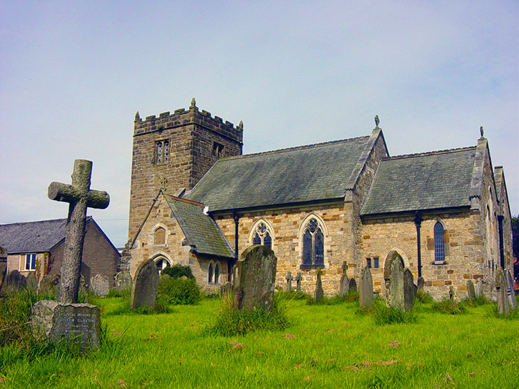 Man-made underground passage in Kilbarry (carbery East (w.d) By.)Man-made underground passage · 1 yd
 Poulacahera FortFairy fort / earthen ringfort · 978 yd
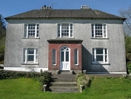 Manor Househouse · 1.6 mi
 Milane HillMountain / peak · 1.7 mi
 Mohona WoodWood · 2.0 mi
 Woodbrookcountry house · 2.1 mi
 Graveyard in ToughmacdermodyGraveyard · 2.3 mi
 Castle (Site of)Castle, Anglo-Norman masonry castle · 2.4 mi
 Dunmanway Heritage CentreVisitor information · 2.7 mi
 Pookeen North TopMountain / peak · 2.7 mi
 Graveyard in Dunmanway NorthGraveyard · 3.1 mi
 Funmanway Adventure LandHeritage attraction · 4.0 mi