What is recorded here
Fairy fort / earthen ringfort in Kilballygorman is a fairy fort or earthen ringfort in Kilballygorman, County Tipperary, Ireland. A large quarry has destroyed most of the ringfort, encroaching from the north, while a well-preserved limekiln remains at the quarry mouth in the north quadrant. The surviving earth and stone bank measures 1.3 metres across its crest and 4 metres at its base, with an internal height of 0.4 metres and an external height of 1.62 metres. In the west quadrant the bank is broad and rather flattened, though a wide fosse depicted on older maps is not visible above ground in the east, south or northwest sections.
On a SE-facing slope in rolling terrain, on a slight break in slope. Tillage to W and pasture to E. Very disturbed monument, (map diam. c. 32m E-W). A large quarry has destroyed most of the ringfort, encroaching from the N. In the SW quadrant the interior is filled with large mounds of upcast material from the quarry. Both the remains of the ringfort and the disused quarry are heavily overgrown with scrub. The ringfort, which is depicted on the current OS 6-inch map as being circular, is enclosed by an earth and stone bank (Wth 1.3m crest, 4m base; int. H 0.4m; ext. H 1.62m). The bank in the W quadrant is broad and rather flattened. On the 25-inch OS map a wide fosse is depicted enclosing the bank from NE-E-SE and from S-W-NW, however, this is not visible above ground. There is a large, well-preserved limekiln at the mouth of the quarry in the N quadrant.
Compiled by: Jean Farrelly
Date of upload: 27 November 2013
The monument record does not grant public access. Check the route and ask the landowner before entering private land.
- What survives
- Recorded monument
Places near here
 Ladys Abbey (in ruins)Religious house, Carmelite friars · 433 yd
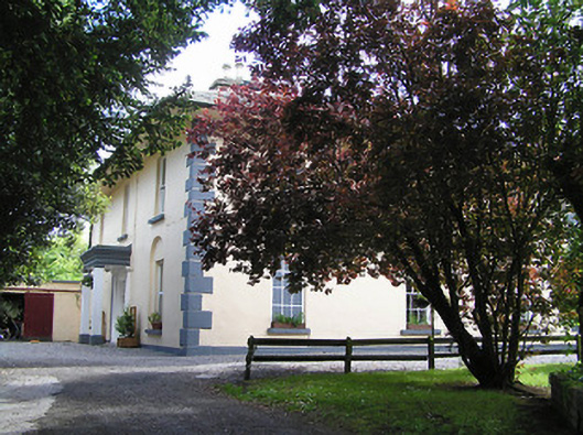 The Old Parochial Housepresbytery/parochial/curate's house · 855 yd
 Enclosure in Monroe EastEnclosure · 1149 yd
 Enclosure in Garryduff (ballybacon Par.)Enclosure · 1180 yd
 Ballydrinan CastleCastle, tower house · 1.3 mi
 Woodcock HillMountain / peak · 1.7 mi
 Bawn in RochestownBawn · 1.9 mi
 Kildanogue wildfowl sanctuary and nature reserveNature reserve · 2.6 mi
 Pedunculate OakPedunculate Oak · 3.2 mi
 The VeeViewpoint · 3.5 mi
 Roche's HillMountain / peak · 3.6 mi
 Grubb’s GraveMemorial · 3.7 mi