What is recorded here
Keeneraboy holds a true fairy fort, an oval rath set on a drumlin ridge in County Monaghan. Its earthen banks and shallow ditch still mark the edge of a small enclosed world, likely entered through the eastern gap. People may have lived, hidden or worshipped there before the land forgot their names. The grass covers the truth but does not erase the shape of their choice.
Located towards the W end of an E-W drumlin ridge. This is an oval grass-covered area (dims 45.5m ENE-WSW; 37m NNW-SSE) defined by an overgrown earthen bank (at SW: Wth of base 2.9m; int. H 0.9m; ext. H 1.7m) separated by a fosse (at NE: Wth of base 2.2m; ext. D 0.7m) NW-E and ESE-SW from an outer bank (at NE: Wth of base 2.7m; ext. H 1m) that is only visible NNW-E. The original entrance is probably the gap (Wth of base 2.1m) at E. The site of rath (MO025-042----) is c. 50m to the E.
The above description is derived from the published 'Archaeological Inventory of County Monaghan' (Dublin: Stationery Office, 1986). In certain instances the entries have been revised and updated in the light of recent research.
Compiled by: Michael Moore
Date of revision: 27 February 2018
The monument record does not grant public access. Check the route and ask the landowner before entering private land.
- What survives
- Recorded monument
Places near here
 IndicatedFairy fort / earthen ringfort · 90 yd
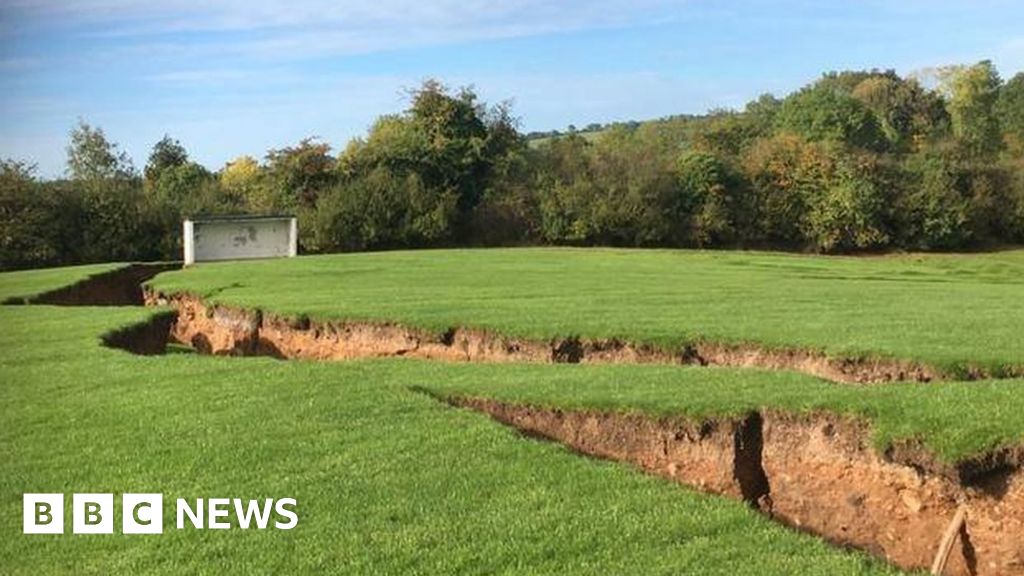 Man-made underground passage in CorcullioncrewMan-made underground passage · 889 yd
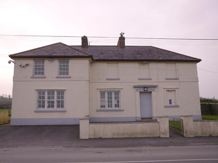 Corrinshigagh Garda Síochána Stationgarda station/constabulary barracks · 909 yd
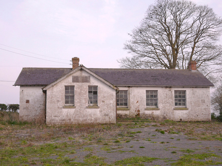 Scoil Náisiúnta Chorr Fuinnseogachschool · 962 yd
 KnockreaghMountain / peak · 1064 yd
 Whites IslandIslet · 3.1 mi
 Fincarn HillMountain / peak · 3.3 mi
 TobernagalliaghSpring · 3.5 mi
 Mannan Castle (in ruins)Castle, Anglo-Norman masonry castle · 3.5 mi
 Battle of Newry Roadbattle · 3.6 mi
 The Black Castle Chambered GraveArchaeological place · 3.7 mi
 Crane IslandIsland · 3.9 mi