What is recorded here
Keelrin holds a broken earthen ring on a drumlin crest, its shallow ditch and worn bank still marking a place where people kept fire, tools and watches before the fields swallowed the edge. The name Fairy fort may be a story rather than a fact, but it fits the shape: a small circle set slightly apart, easy to imagine as belonging to someone else.
Situated at the crest of the E-facing slope of a broad N-S drumlin ridge. This is a grass-covered circular area (diam. 40m N-S; 37m E-W) defined by an eroded earthen bank (Wth 7m; int. H 0.2m; ext. H 0.6m) SW-NW which is reduced to a scarp (H 0.8m) NW-SE, and slight traces of an external fosse (Wth of top 6-6.5m; Wth of base 2m; D 0.2m) SW-NW and NE-E. The entrance was probably at SE where there is slight dip (Wth 4m) in the perimeter. The perimeter was incorporated into an E-W field bank (L c. 20m) at S, which has since been removed (Bing 2013).
The above description is derived from 'The Archaeological Inventory of County Leitrim' compiled by Michael J. Moore (Dublin: Stationery Office, 2003). In certain instances the entries have been revised and updated in the light of recent research.
Date of upload: 23 September 2008
The monument record does not grant public access. Check the route and ask the landowner before entering private land.
- What survives
- Recorded monument
Places near here
 Swan Island pet farmHeritage attraction · 1030 yd
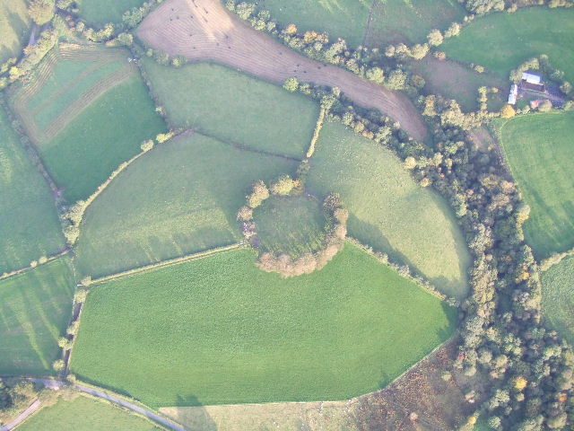 Fairy fort / earthen ringfort in MullyasterFairy fort / earthen ringfort · 1176 yd
 Crane IslandIslet · 1424 yd
 BatteryBawn · 1440 yd
 Cherry IslandIslet · 1.0 mi
 Bawn in Cherry IslandBawn · 1.1 mi
 Church (in Ruins)Church · 1.1 mi
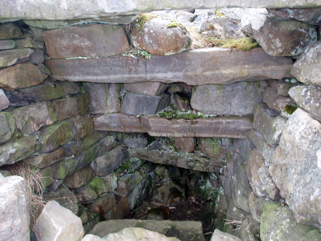 Outlined, Corn KilnEnclosure · 1.2 mi
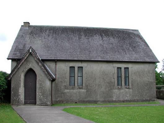 Newtown Gore Methodist Churchchurch/chapel · 1.3 mi
 Black PoplarBlack Poplar · 2.0 mi
 DerrynigginMountain / peak · 2.0 mi
 DrummuckerMountain / peak · 2.2 mi