What is recorded here
Keeloges holds a broken ring where human hands shaped the earth before memory faded. Its grassy margin still marks a lived boundary, even though the entry has vanished and the bank has thinned to a shade. The fairies may have taken the fort into legend, but the measure of the circle preserves the boldness of the people who made it.
At the inner edge of a shelf on the E side of Glenade valley that is at the bottom of a steep W-facing slope. Grass and reed-covered circular area (diam. 27m N-S; 24.8m E-W) defined by a scarp (H 0.4m at E to 0.7m at N), with traces of a bank (Wth of base 4.5m; int. H 0.3m) at E and traces of an intermittently visible fosse (Wth 5-6m). The original entrance is not identified but there are two slight dips on the perimeter at SW.
The above description is derived from 'The Archaeological Inventory of County Leitrim' compiled by Michael J. Moore (Dublin: Stationery Office, 2003). In certain instances the entries have been revised and updated in the light of recent research.
Date of upload: 23 September 2008
The monument record does not grant public access. Check the route and ask the landowner before entering private land.
- What survives
- Recorded monument
Places near here
 Sweat HouseSweathouse · 747 yd
 IndicatedEnclosure · 1176 yd
 Church in Drummans (rosclogher By., Aghanlish Ed)Church · 1.1 mi
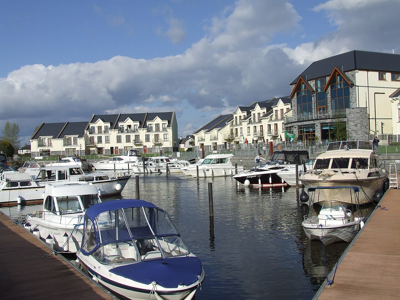 AghalateeveMountain / peak · 1.1 mi
 Eagle's RockMountain / peak · 2.2 mi
 TievebaunMountain / peak · 2.3 mi
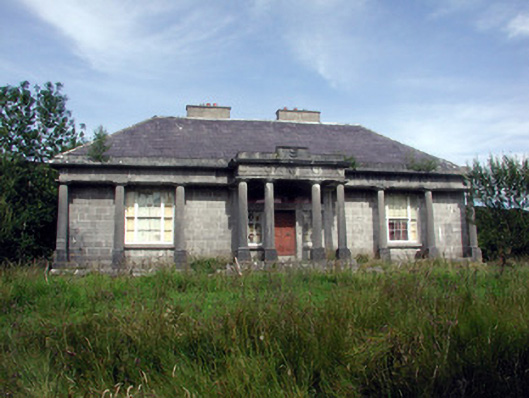 Glenade Housecountry house · 2.6 mi
 Cormac Reagh's HoleCave · 2.9 mi
 Giant's GraveArchaeological place · 3.5 mi
 Memorial Francis FinnMemorial · 3.9 mi
 Doneen WestCliff · 3.9 mi
 Gleniff Horseshoe Drive 2Viewpoint · 4.2 mi