What is recorded here
Fairy forts are a class of small, oval or round enclosed places built with earthen banks. They are called fairy forts because local tradition long believed they belonged to hidden or displaced people. The name is not a claim that fairies built them. It records that ordinary human uses had already been forgotten when the story took over.
On a low rise on the floor of Glenade valley. Grass and scrub-covered oval area (int. dims 25m NNW-SSE; 21m ENE-WSW) defined by a round-topped earthen bank (Wth 3.9m; int. H 0.35m; ext. H 1.3m) E-S, which is reduced to a scarp (H 0.8m) elsewhere and which is separated by a flat-bottomed fosse, best preserved E-S (Wth of base 2.25m; D 0.25m), from an external bank (Wth 3m; H 0.25m) NE-E-SSW. The entrance (Wth 2.2m) and causeway are at SE.
The above description is derived from 'The Archaeological Inventory of County Leitrim' compiled by Michael J. Moore (Dublin: Stationery Office, 2003). In certain instances the entries have been revised and updated in the light of recent research.
Date of upload: 23 September 2008
The monument record does not grant public access. Check the route and ask the landowner before entering private land.
- What survives
- Recorded monument
Places near here
 Sweat HouseSweathouse · 110 yd
 Church in Drummans (rosclogher By., Aghanlish Ed)Church · 1083 yd
 IndicatedEnclosure · 1180 yd
 AghalateeveMountain / peak · 1.5 mi
 TievebaunMountain / peak · 2.0 mi
 Eagle's RockMountain / peak · 2.1 mi
 Cormac Reagh's HoleCave · 2.6 mi
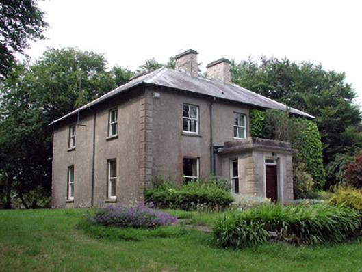 The Old Rectoryrectory/glebe/vicarage/curate's house · 3.0 mi
 Gleniff Horseshoe Drive 2Viewpoint · 3.9 mi
 Gleniff Horseshoe DriveViewpoint · 4.0 mi
 Doneen WestCliff · 4.0 mi
 Memorial Francis FinnMemorial · 4.0 mi