What is recorded here
Keeloge holds a broken fairy fort where human ambition met the limit of local material. Two clay banks still curve around a thirty-five-metre chamber on the Brosna floodplain, but the northern edge has vanished and the western edge has been swallowed by field work. The missing entrance and damaged ridge suggest more than neglect; they suggest a place repeatedly taken, reused or erased. A lime kiln buried in its south-western quadrant shows that the fort was not merely inhabited but worked, heated and transformed.
Located on the low-lying floodplains of a tributary of the river Brosna which is located to the N. Circular area (diam 35m N-S) enclosed by two banks with intervening fosse (Wth 2.1m; ext. D 0.7m). Inner bank (Wth 1.5m; int. H 0.5m; ext. H 0.7m) is destroyed at N, poorly preserved outer bank visible as a field boundary at E and obscured at W by modern field clearance. No apparent entrance feature visible. The remains of a circular lime kiln located in the SW sector of the ringfort.
The above description is derived from the published 'Archaeological Inventory of County Offaly' (Dublin: Stationery Office, 1997). In certain instances the entries have been revised and updated in the light of recent research.
Date of upload: 23 May 2011
The monument record does not grant public access. Check the route and ask the landowner before entering private land.
- What survives
- Recorded monument
Places near here
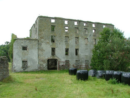 mill (water)mill (water) · 274 yd
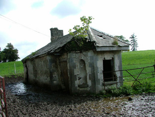 Glasshousegate lodge · 1044 yd
 Bawn in ShinroneBawn · 1130 yd
 Fulacht fia in AdruelFulacht fia · 1209 yd
 Grave YardGraveyard · 1355 yd
 Cangort WoodWood · 1735 yd
 Site of CastleCastle, unclassified · 1.6 mi
 Warren WoodWood · 2.5 mi
 Eagle HillMountain / peak · 3.6 mi
 Golden Grove HillMountain / peak · 4.5 mi
 Thomas MacDonagh Heritage CentreMuseum · 5.1 mi
 MacDonagh HouseMemorial · 5.1 mi